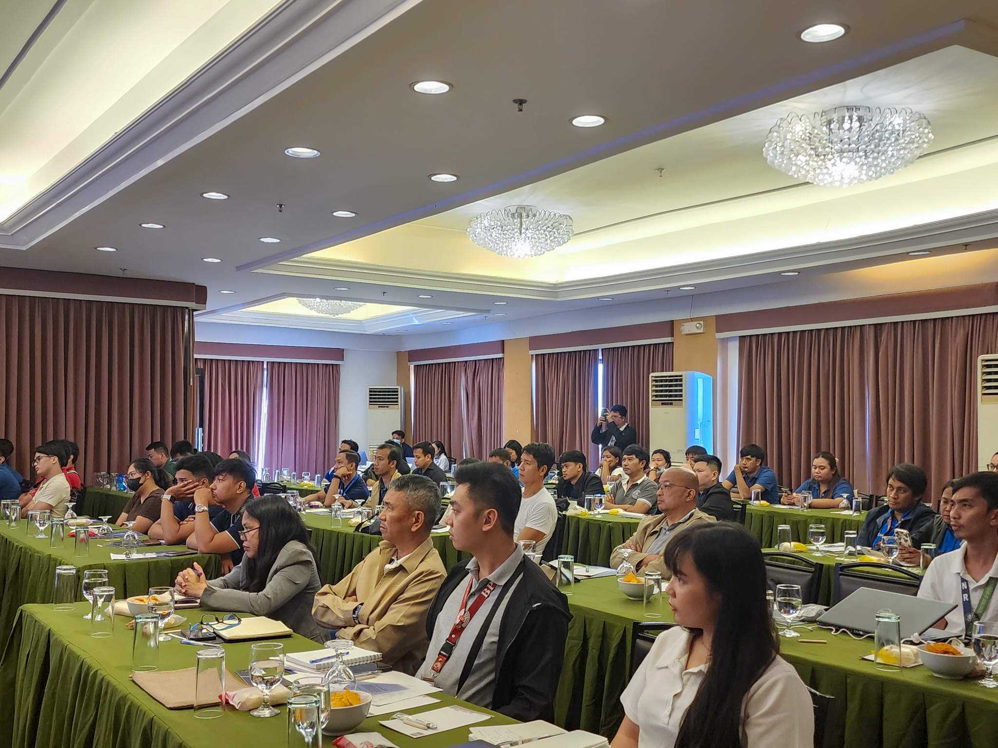
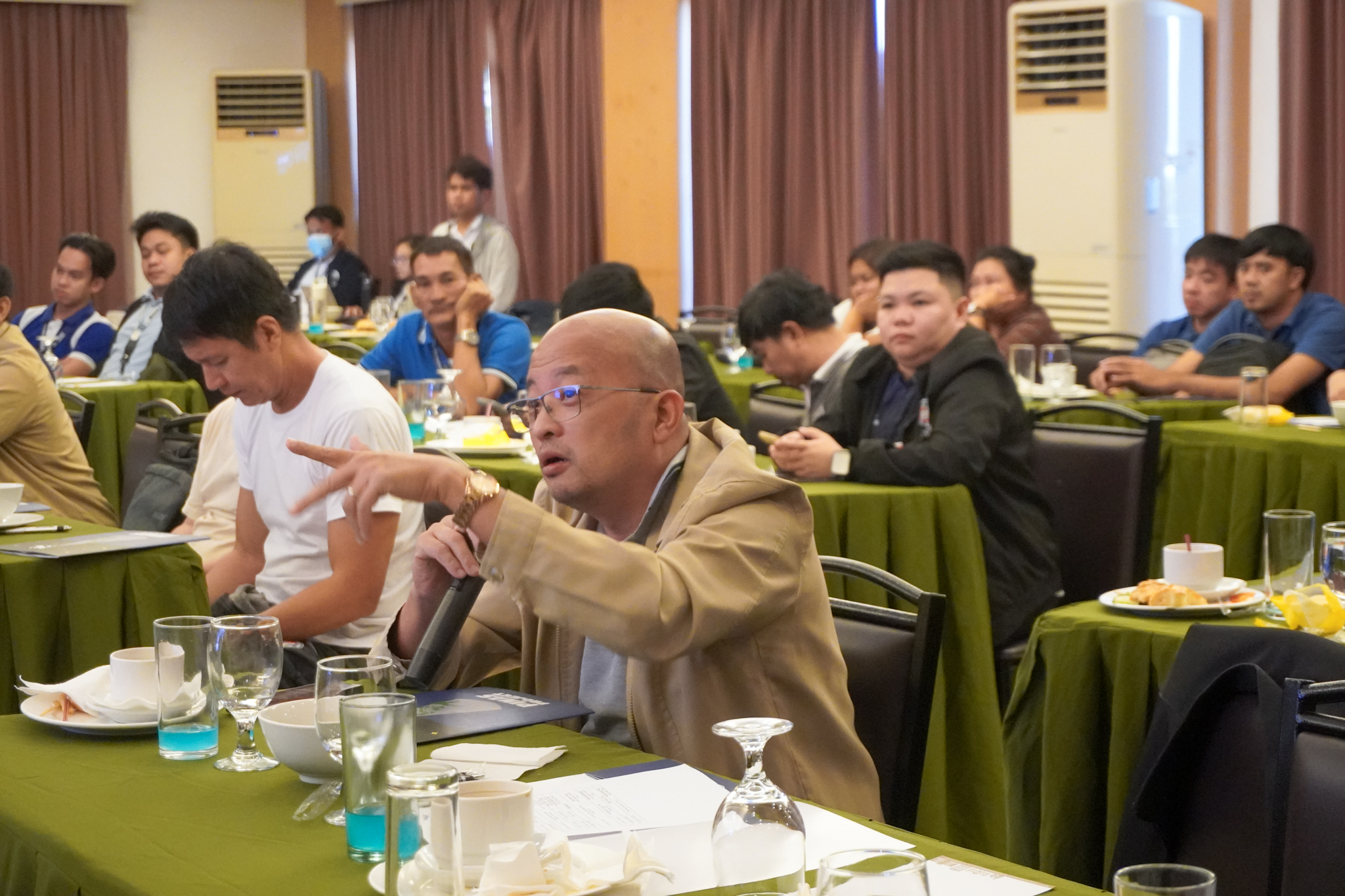
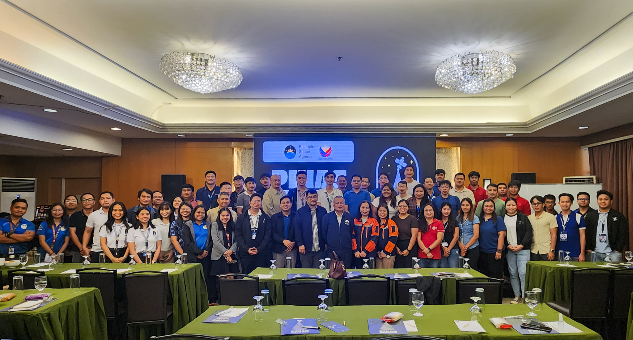
The Philippine Space Agency (PhilSA) held the PhilSA Integrated Network for Space-Enabled Actions towards Sustainability, or the PINAS Workshop, in Balanga, Bataan from 21 to 22 November 2024.
PhilSA Director General Joel Joseph S. Marciano, Jr. delivered the opening remarks and provided an overview of the space value chain. Hon. Jose Enrique Sandejas Garcia III, Provincial Governor of Bataan, represented by Arch. Mc Jefferson M. Valerio, OIC-Provincial Planning and Development Coordinator, welcomed the participants.
The first day covered a series of technical presentations on space data applications and the objectives of the PINAS Project.
During the second day, participants were tasked to map and examine the challenges encountered in their areas, along with identifying the corresponding actions needed to address them. A hands-on session on field data collection using the ODK Collect application was conducted to capacitate the participants to collect and upload data for satellite data validation. Additional topics on remote sensing, the Space Data Dashboard, The National Copernicus Capacity Support Action Programme for the Philippines (CopPhil), and the value of field data were also discussed.
Launched in October 2022, PINAS envisions an active network of institutions and individuals working toward sustainability using space data. Workshops have been held in Iloilo City, Palawan, Ilocos Region, Aklan, Mindoro, Davao, Zamboanga, and Cebu. Interested individuals and organizations may join the PINAS Network here.
Check out the highlights of the workshop in the photos below:
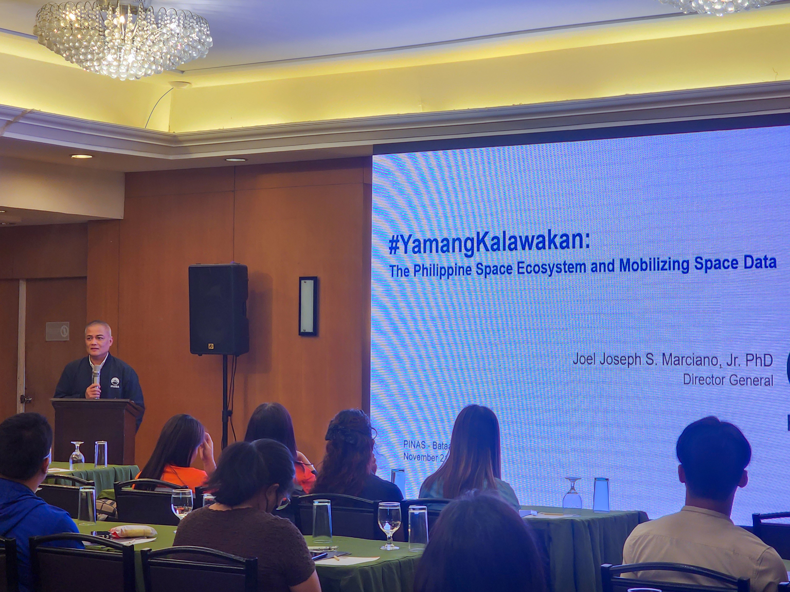
PhilSA DG Marciano delivers the welcome remarks and provides an introduction on PhilSA.
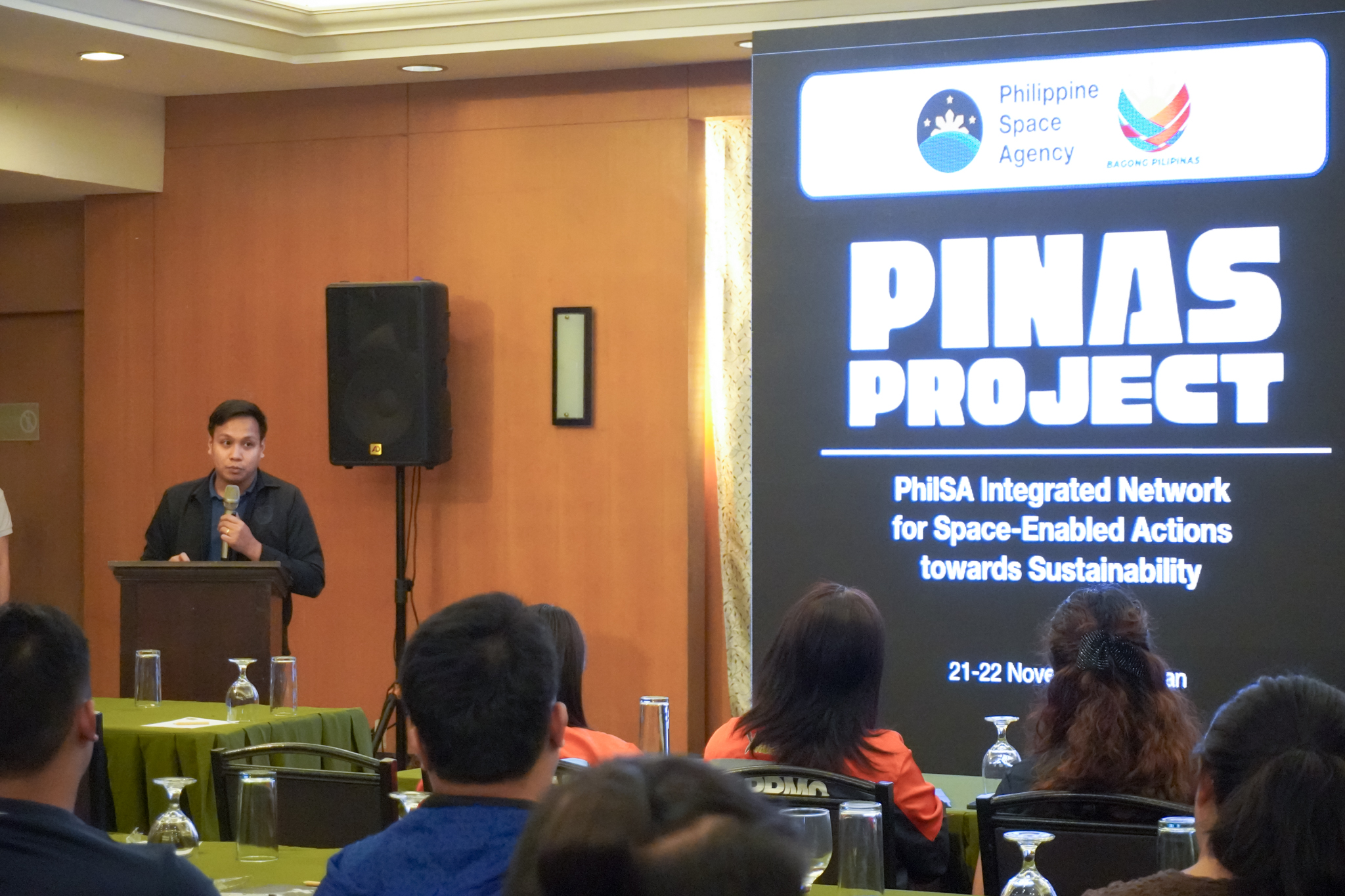
Arch. Mc Jefferson M. Valerio, OIC-Provincial Planning and Development Coordinator, representing Hon. Jose Enrique Sandejas Garcia III, Provincial Governor of Bataan, welcomes the participants.
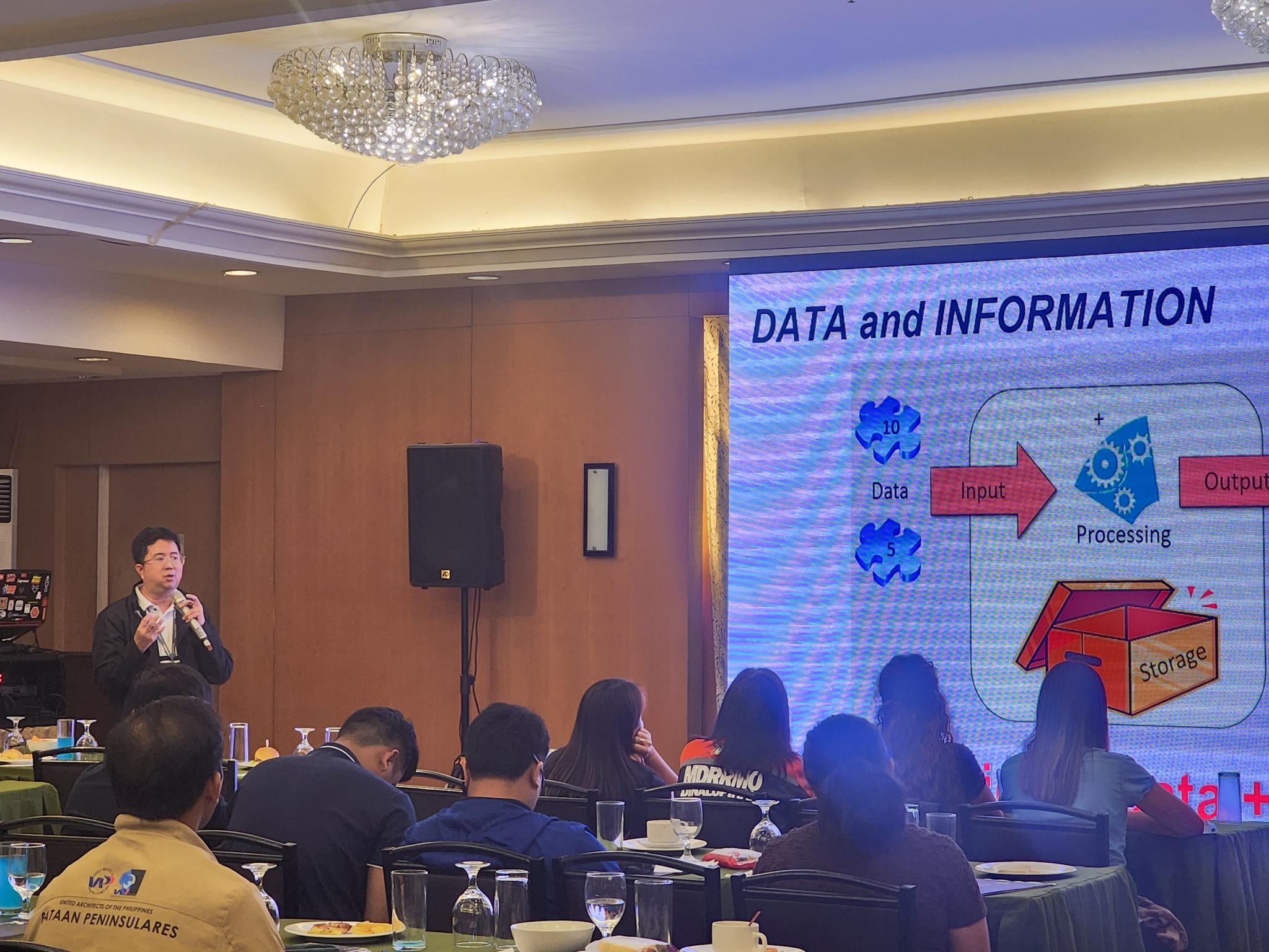
Director Ariel C. Blanco presents how Earth observation (EO) data can be used for actional information.
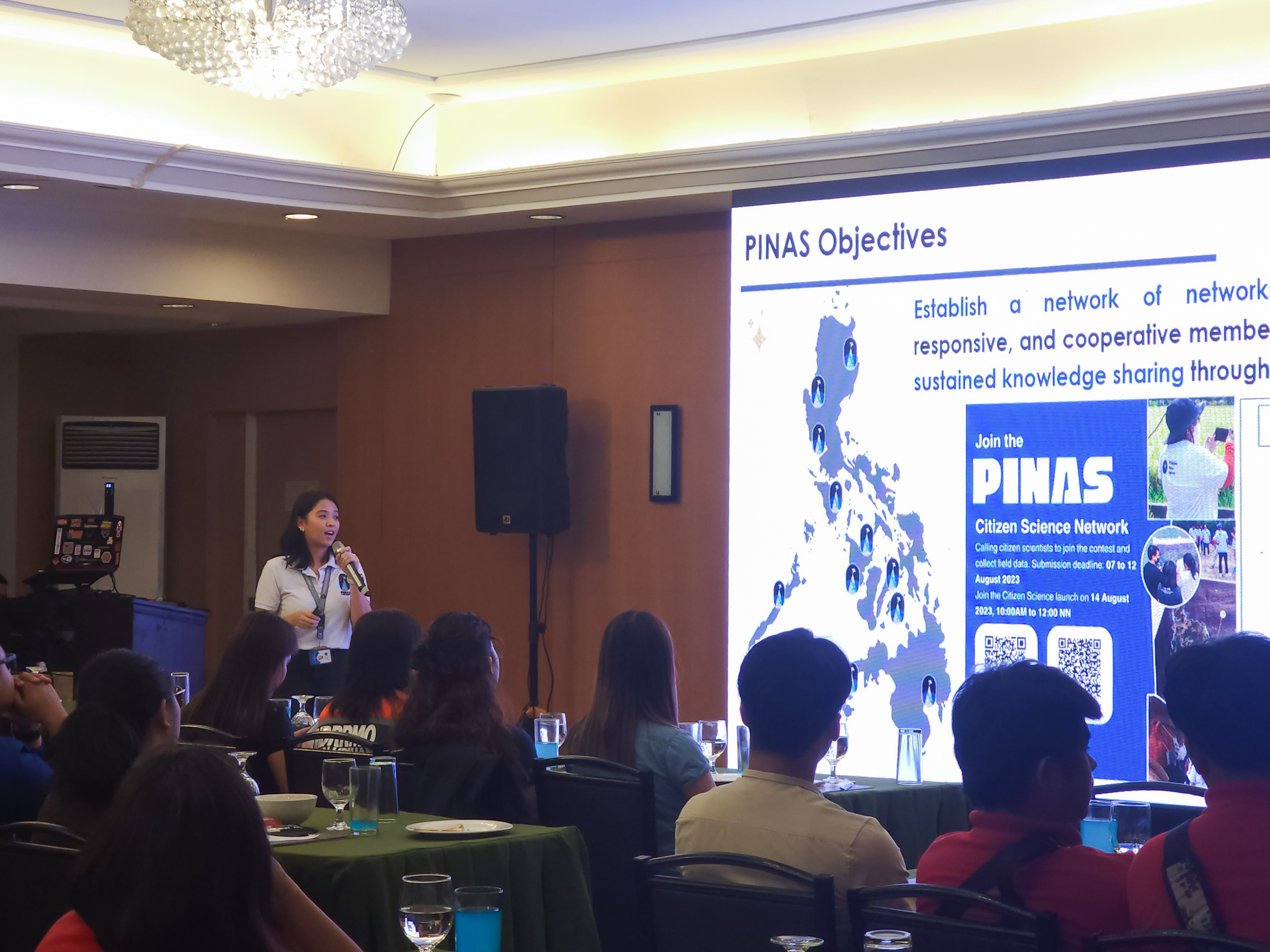
Project Leader, Ms. Princess Angela Young, presents the PINAS Project.
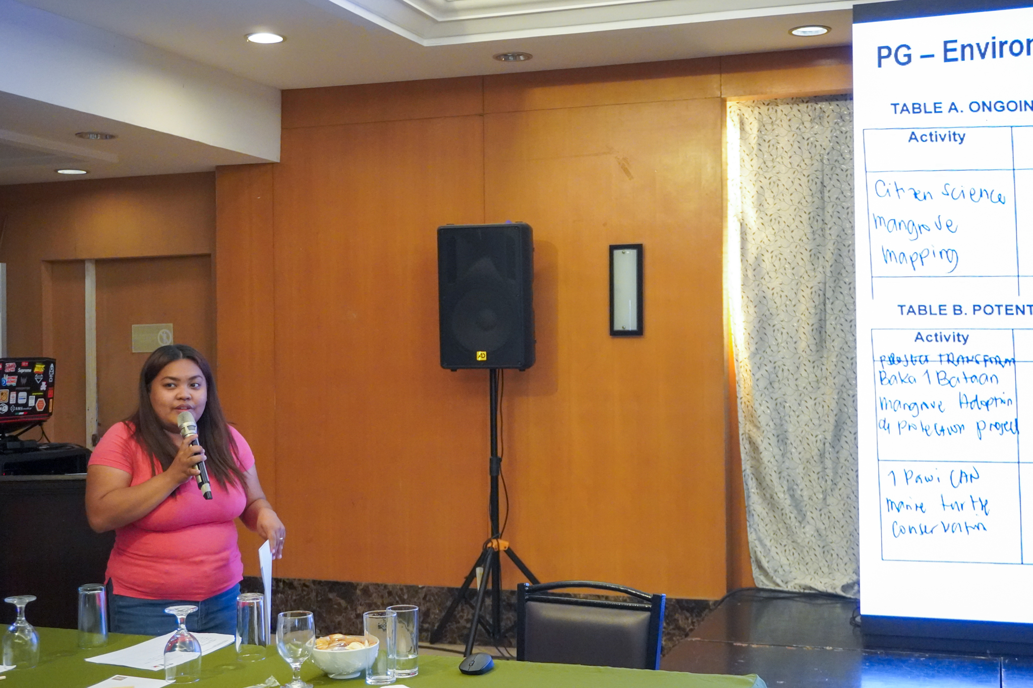
Ms. Mistylyn I. Gutierrez, Environment Management Specialist I from the Provincial Government – Environment and Natural Resources Office, shares their ongoing initiatives and their satellite data needs from PhilSA.
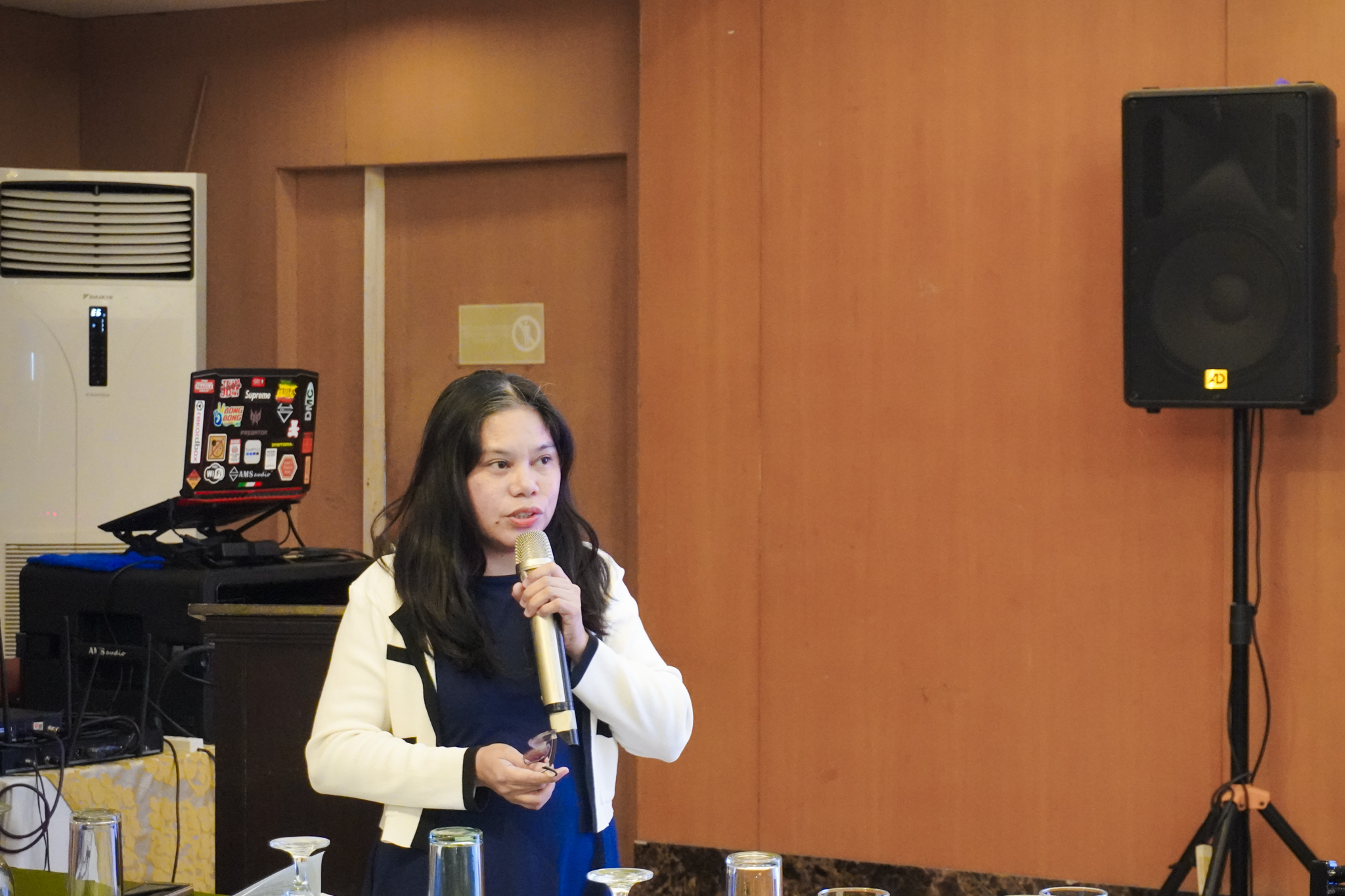
Cristina G. Rivera, BPSU Director, Office of Planning and Development, explains how PhilSA can assist their programs through the provision of satellite data.
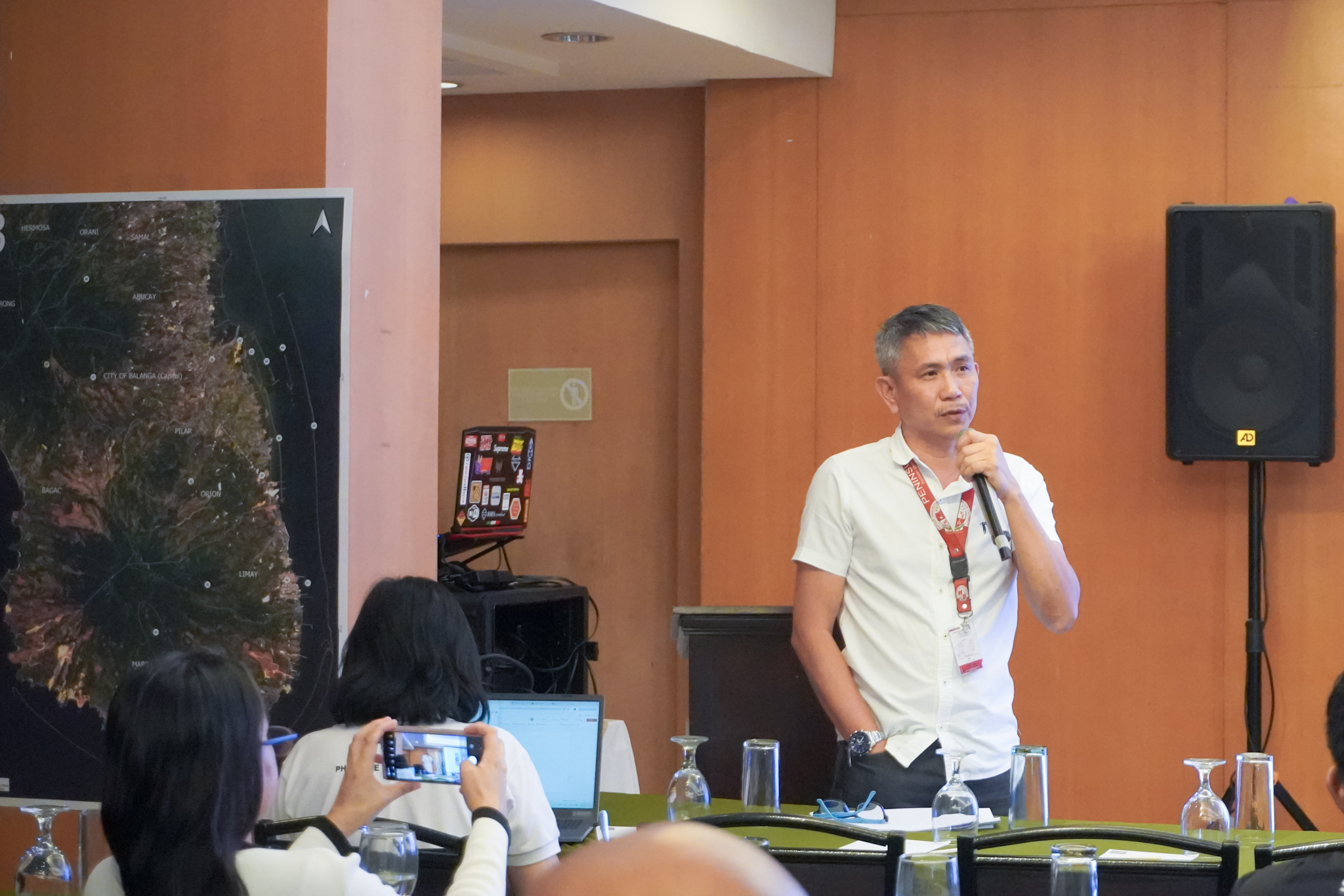
Mr. Walter G. Valdez, BPSU Campus Director-Abucay Campus, discusses how satellite data can be utilized for their activities.
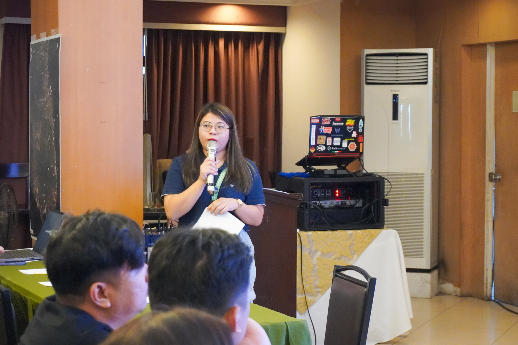
Ms. Thea Chelsea Mae T. Moya, GIS Operator from the Provincial Environment and Natural Resources Office, expounds on the services they need from PhilSA inline with their ongoing programs.
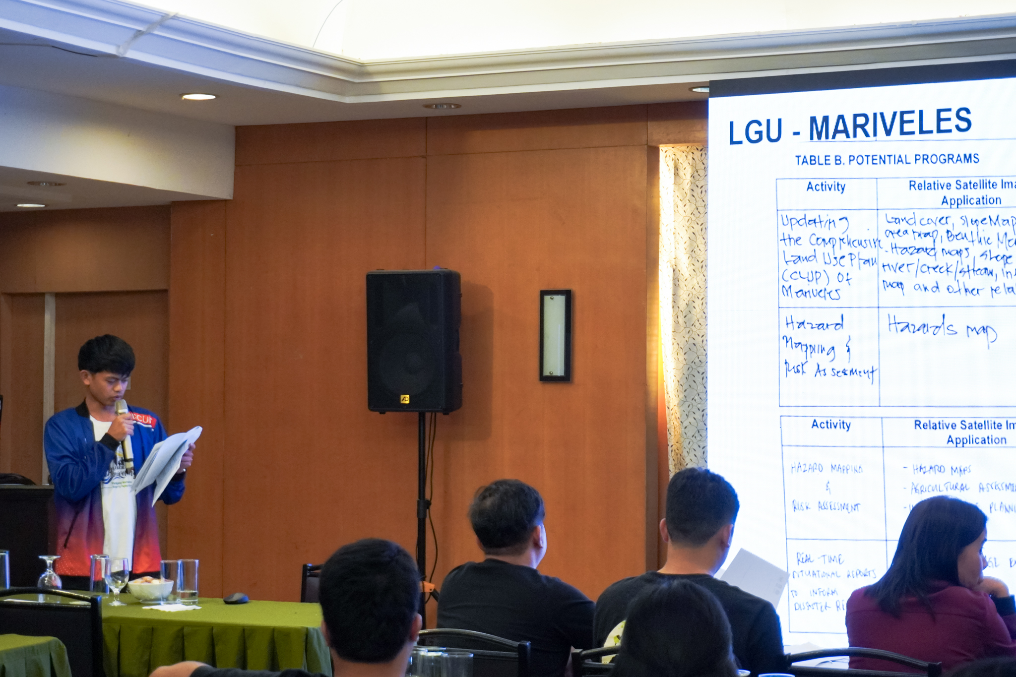
Representative of the Mariveles LGU present their satellite data needs from PhilSA that can assist with the implementation of their programs.
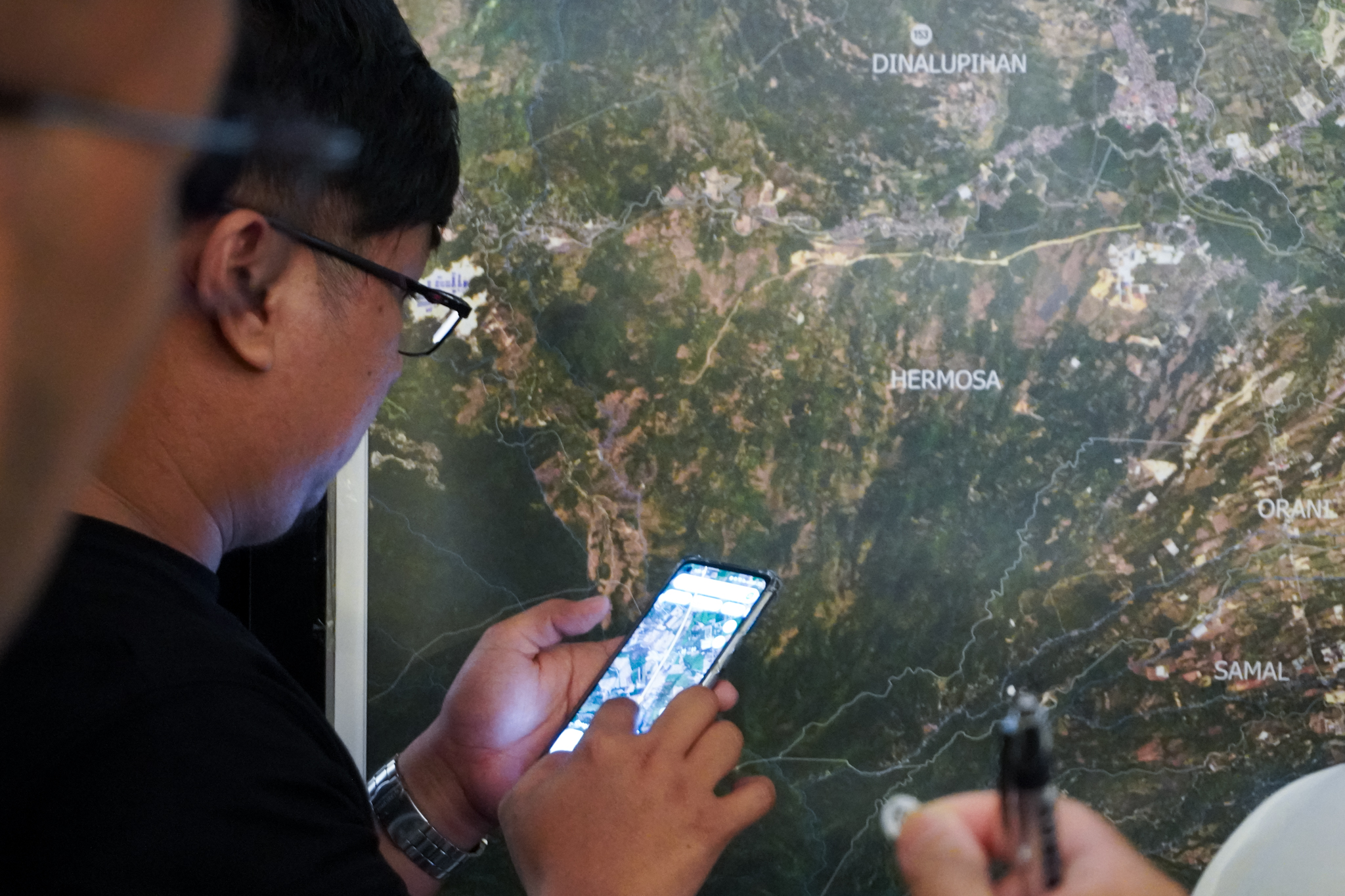
Participatory mapping workshop
