


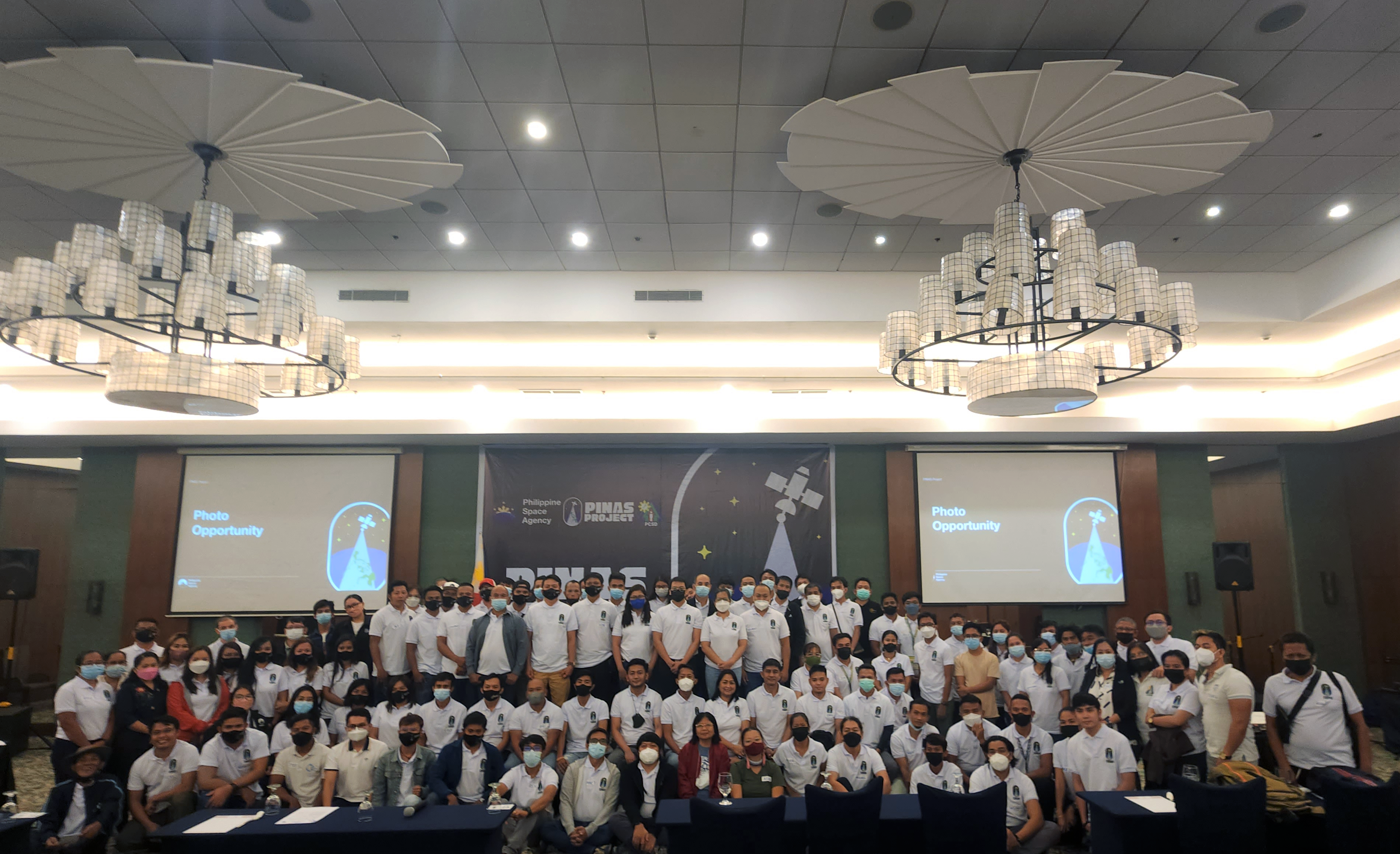
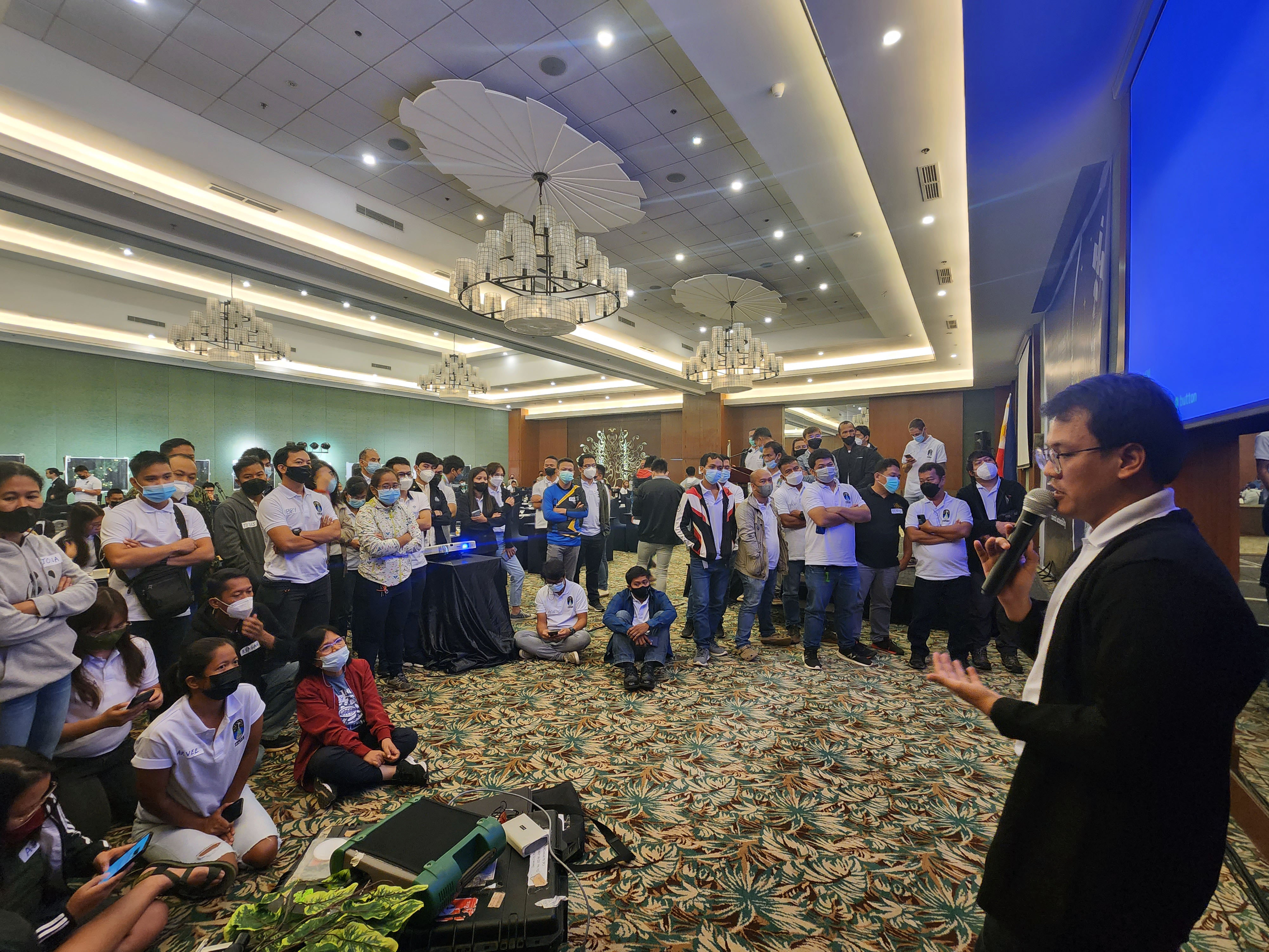
The Philippine Space Agency (PhilSA) held the PhilSA Integrated Network for Space-Enabled Actions towards Sustainability or the PINAS Workshop in Puerto Princesa City, Palawan from 14 to 15 September 2022. Over 120 workshop participants joined from the local government units (LGUs), regional government agencies, research development institutions (RDIs), and non-governmental organizations (NGOs) in Palawan.
During the two-day workshop, the participants learned how space data could be mobilized for information-based action through a series of presentations. Training and a hands-on session on the Open Data Kit (ODK) Collect application also highlighted the importance of field data in validating and calibrating the information from satellite-derived maps.
Check out the highlights of the workshop in the photos below:
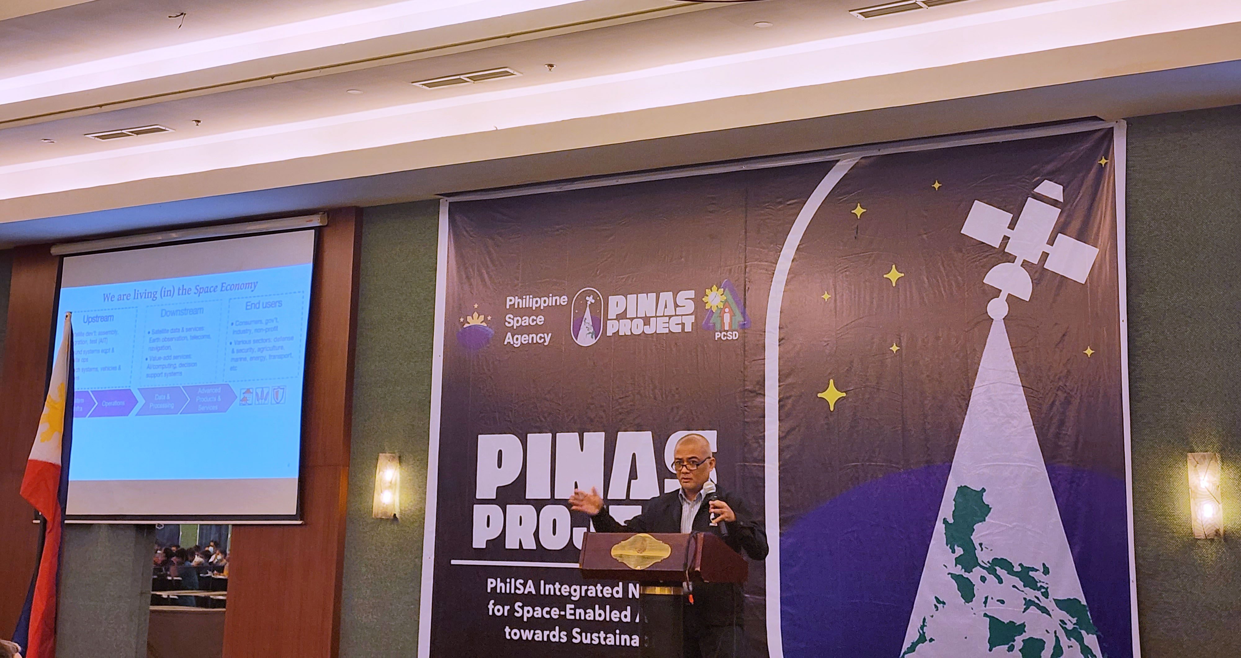
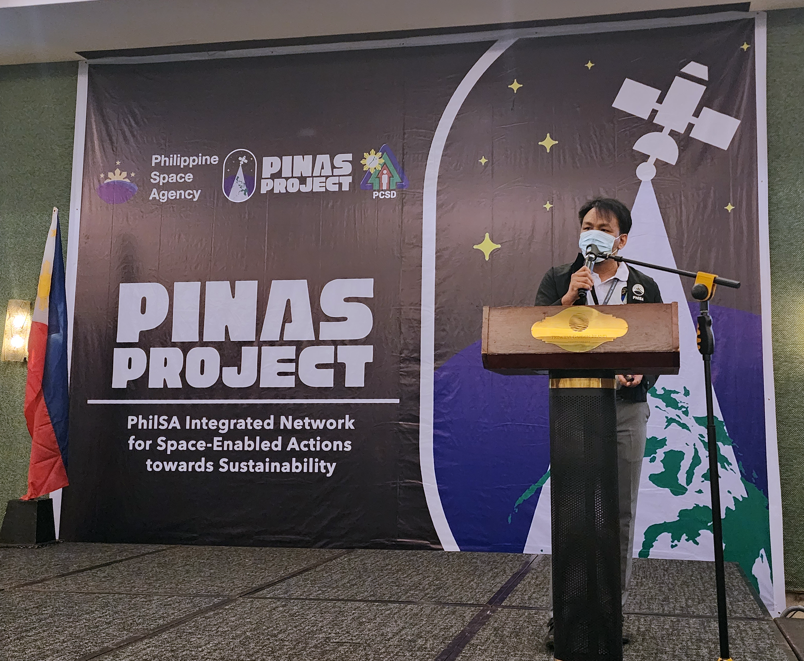
In his welcome remarks, Director General Joel Joseph S. Marciano, Jr. Ph.D., talked about the space economy and PhilSA’s role in using spaceborne data to address the various concerns in the country.
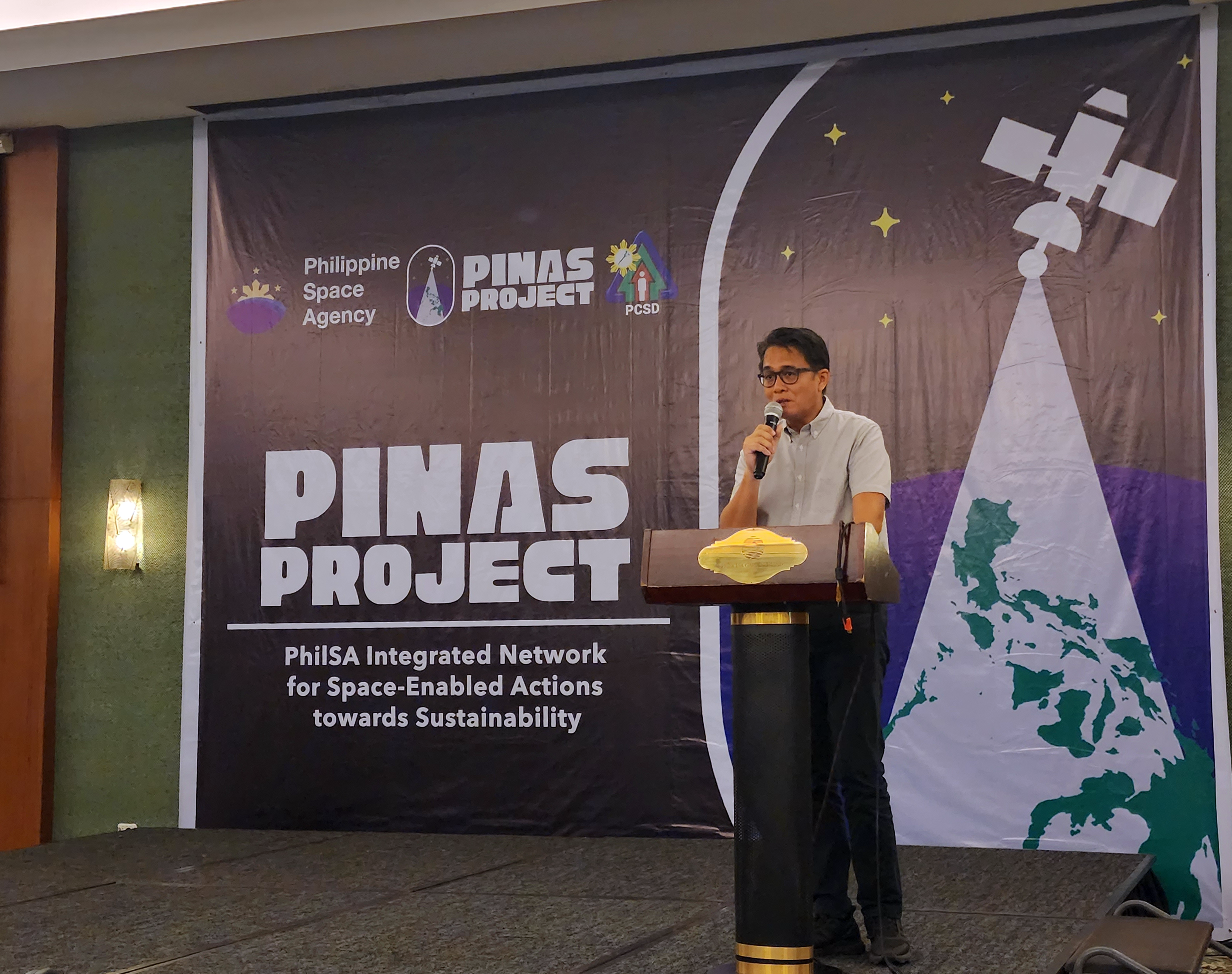
The PINAS Workshop in Palawan was conducted in coordination with the Palawan Council for Sustainable Development Staff (PCSDS). Executive Director Atty. Jose Teodoro S. Matta gave the opening remarks from PCSDS and highlighted the importance of space-data in planning, research, and initiatives on protecting Palawan.
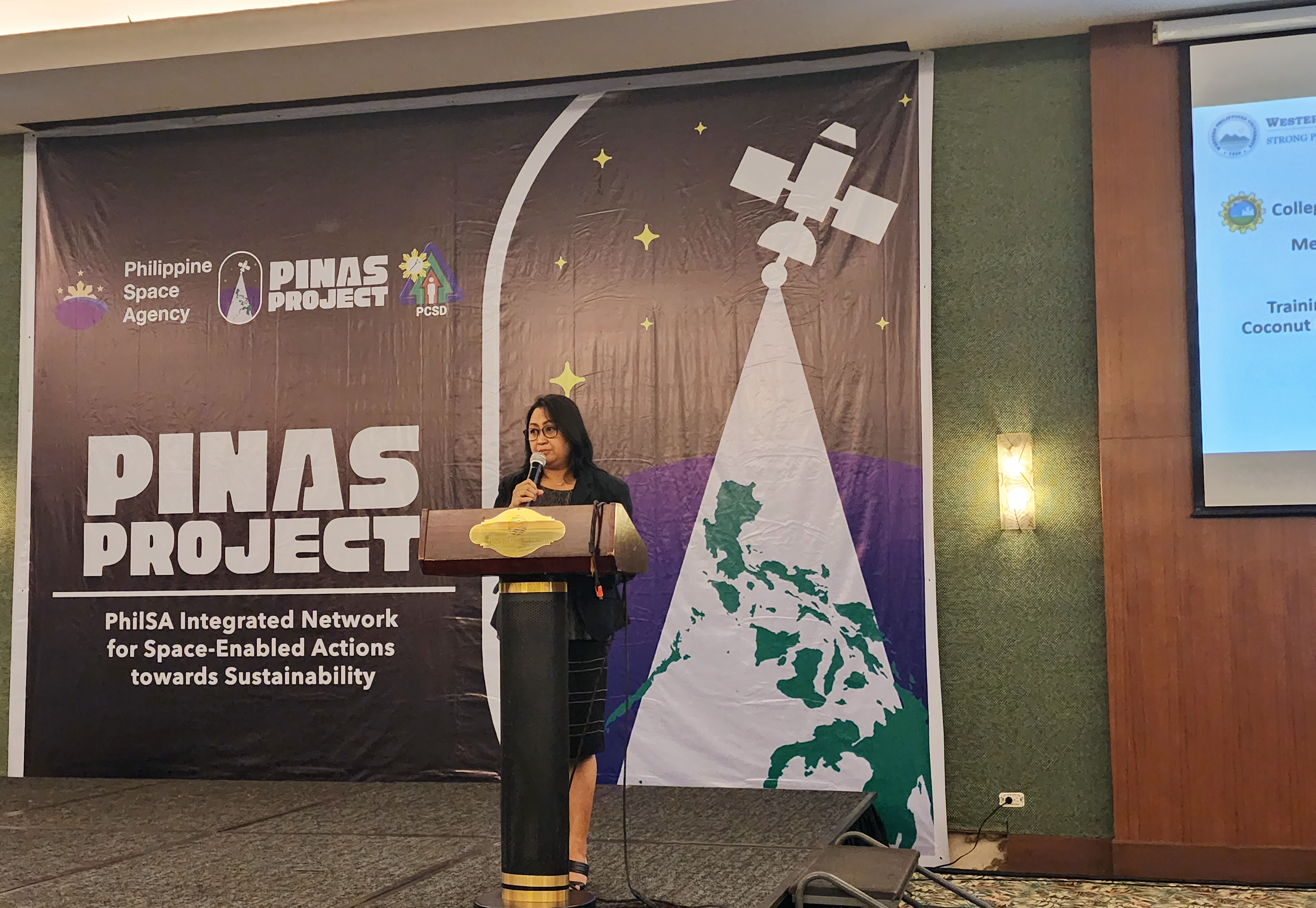
Dean Maribel Peneyra of the College of Engineering and Technology presented the remote sensing and geographic information systems (RS-GIS) activities of the Western Philippines University (WPU) in Palawan.
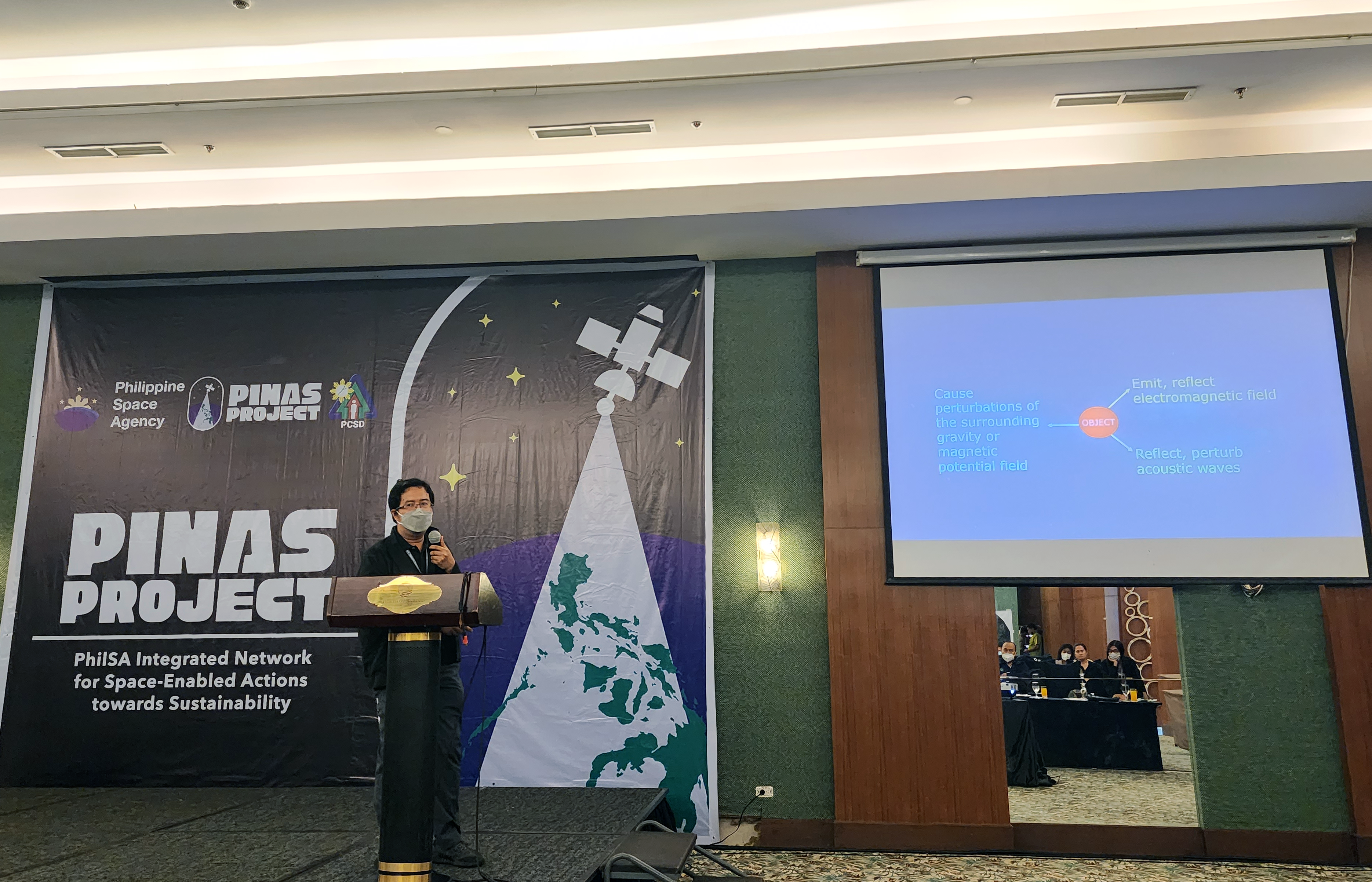
PhilSA Space Information Infrastructure Bureau (SIIB) Director Ariel C. Blanco, Dr.Eng., emphasized the importance of RS-GIS and how information can be derived from images.
L-R: PhilSA DG Marciano, PCSDS Executive Director Atty. Matta, WPU College of Engineering and Technology Dean Peneyra, PhilSA SIIB Director Blanco, and PINAS Project Leader Ms. Pangasinan.
PhilSA Space Mission Control and Operations Division (SMCOD) Chief Shielo Muta showcased the Agency’s projects on mobilizing data from space to the ground.
PINAS Project Leader Ms. Jamaica Pangasinan discussed in detail the PINAS Project and the DALOI (Data Allocation and Operational Information Flow) Project.
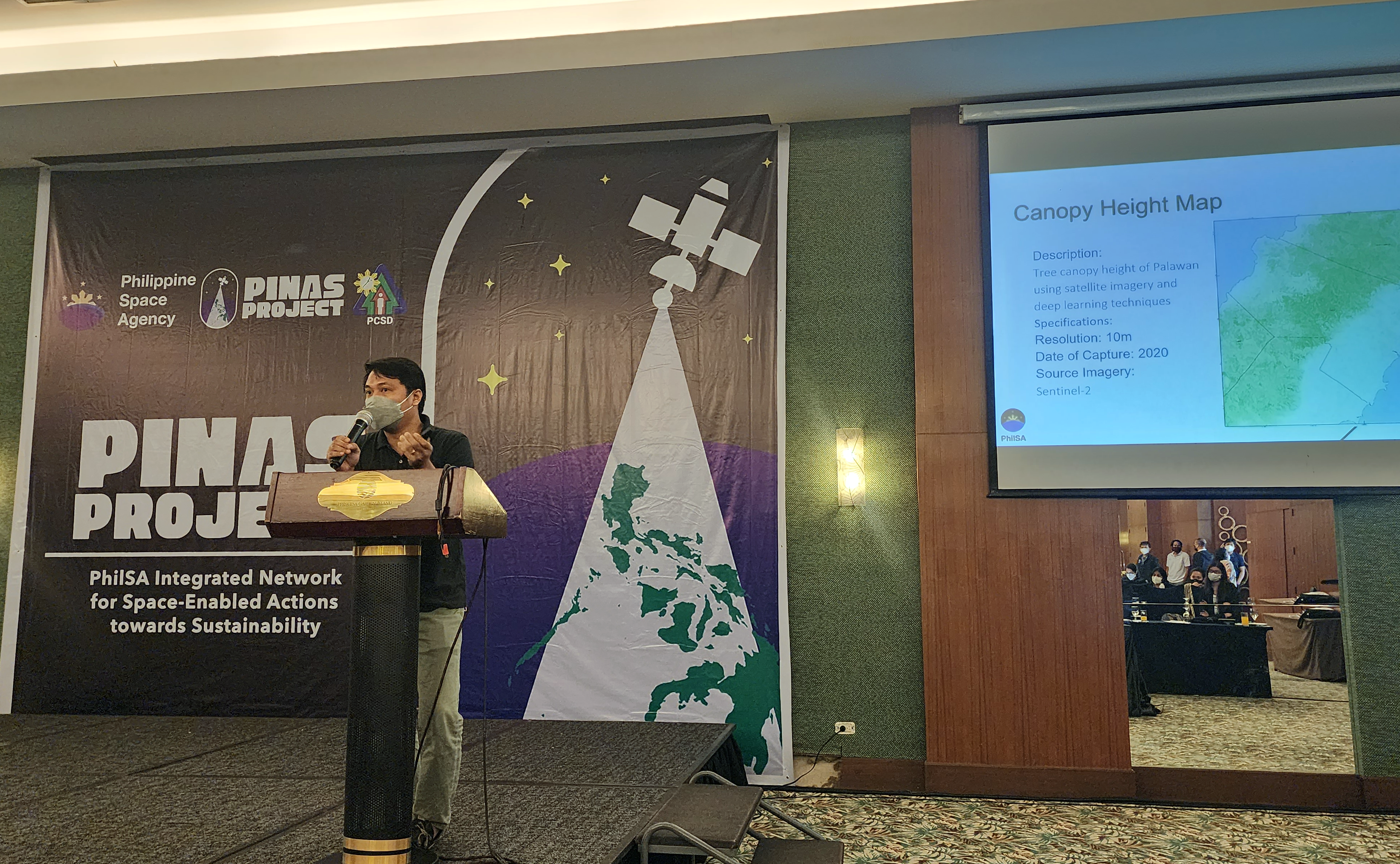
For this workshop, participants were provided with a data package consisting of datasets to be validated through field observation. Engr. Roel M. de la Cruz, Supervising Science Research Specialist of the PhilSA Space Data Mobilization and Applications Division (SDMAD), explained the contents of the data package which included satellite data and maps of Palawan.
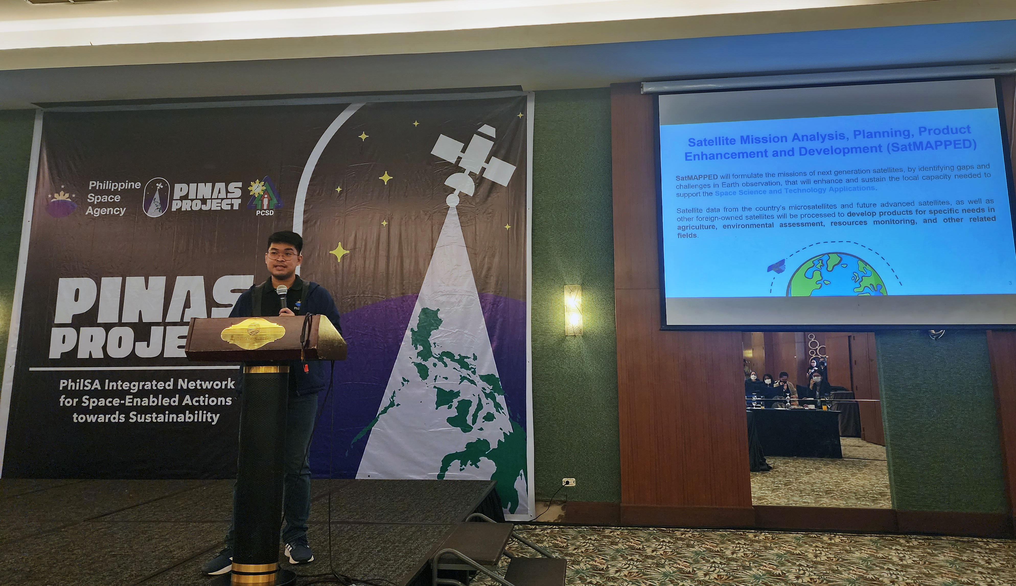
Mr. Archie I. Veloria, Supervising Science Research Specialist of the PhilSA Earth Sciences Space Mision Studies Division (ESSMSD) presented an overview of the Satellite Mission Analysis, Planning, Product Enhancement and Development (SatMAPPED) Project that seeks space-related solutions to address environmental issues and challenges.
PINAS Workshop Day 1 participants

Mr. Mark Jayson Felix, Senior Science Research Specialist of PhilSA ESSMSD demonstrated the field spectroradiometer and the value of spectral signatures.
Mr. Noel Borlongan of PhilSA SDMAD highlighted the importance of field validation. This allows the real-world data to complement satellite data.
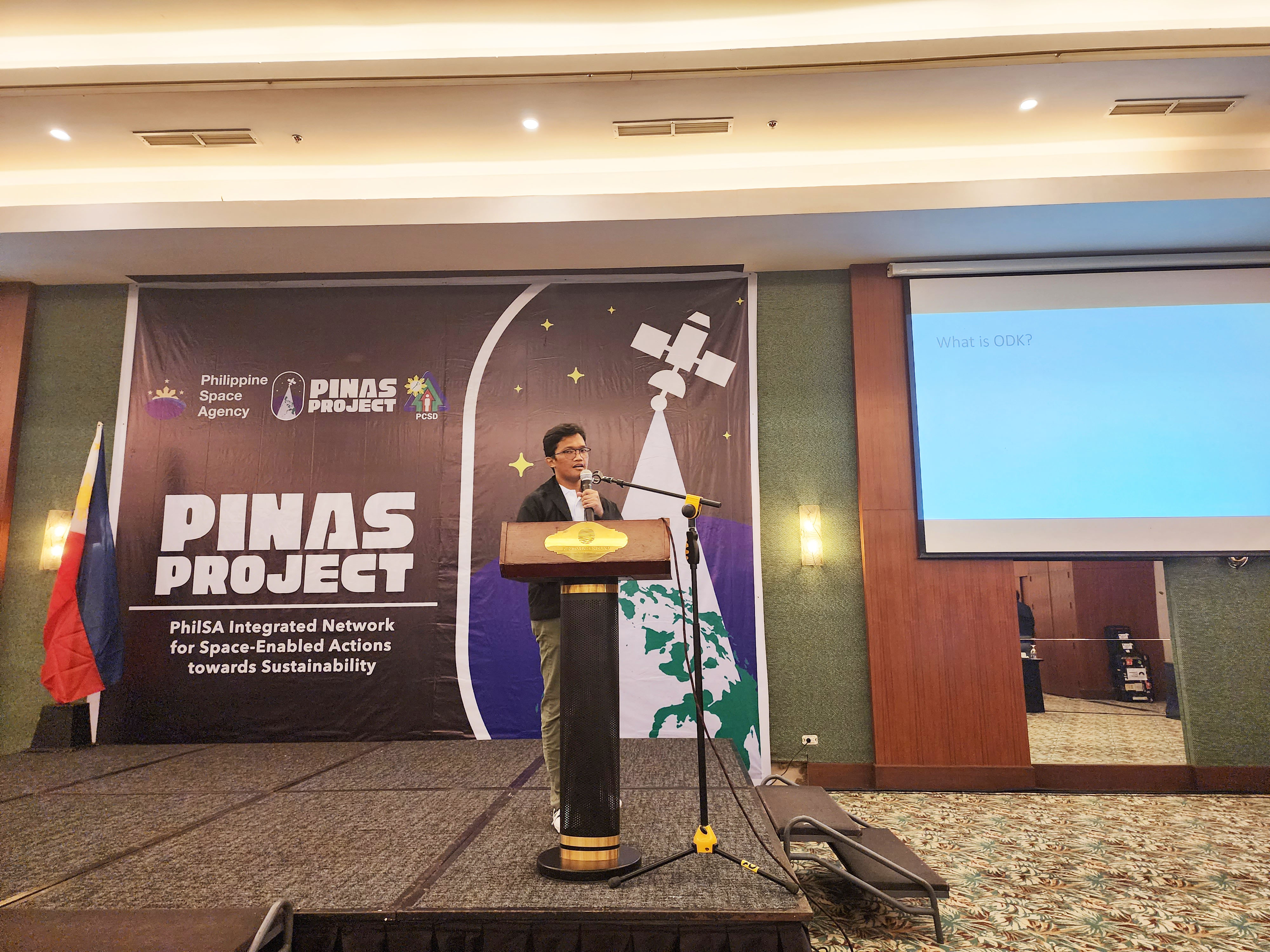
Through ODK, participants can collect and upload field data through their mobile devices for data validation. Mr. Randy Beros of the PhilSA High Performance Computing and Information Systems Division (HPCISD) demonstrated how to use the ODK and input on-ground data in order to validate satellite data.
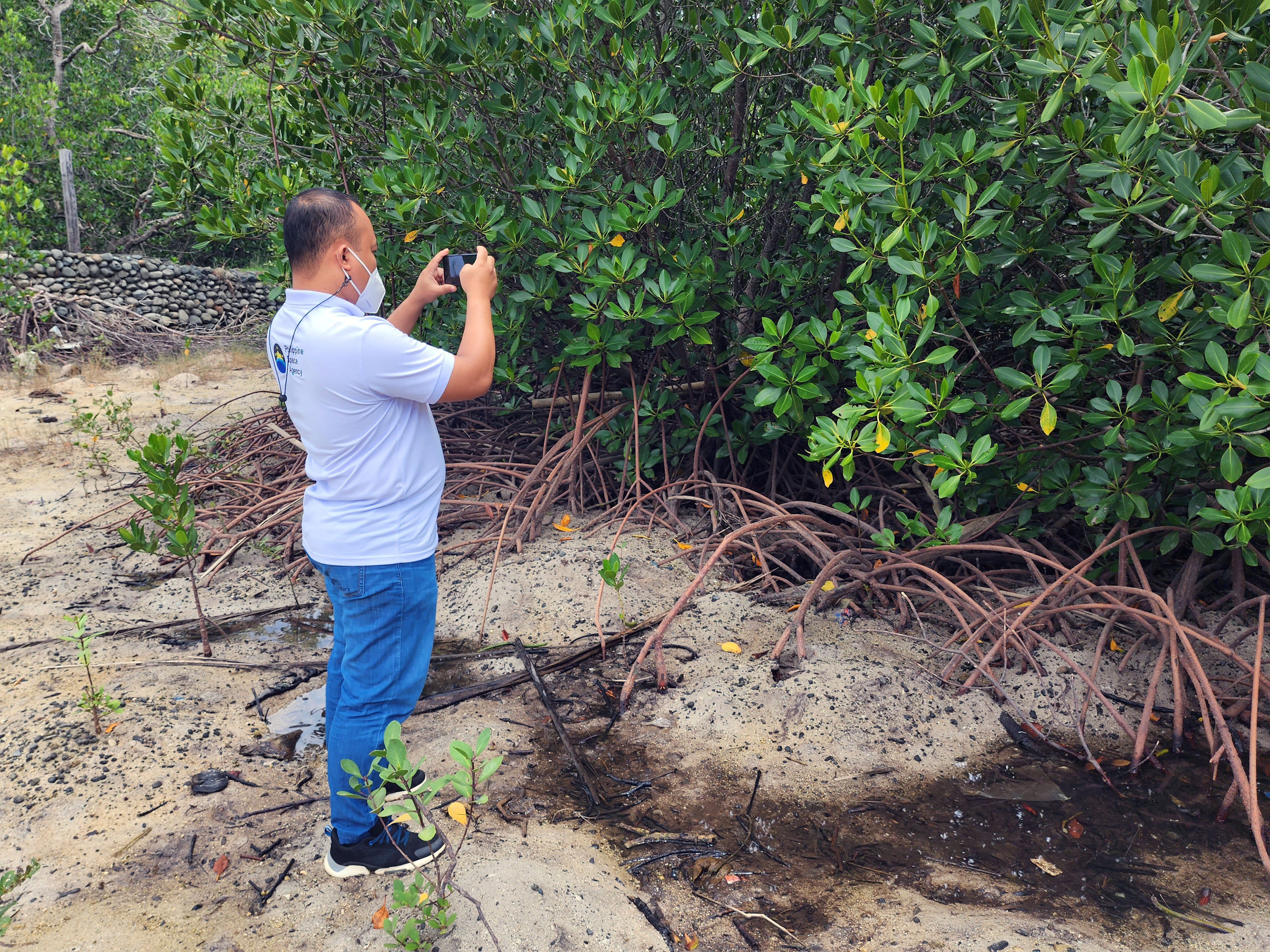
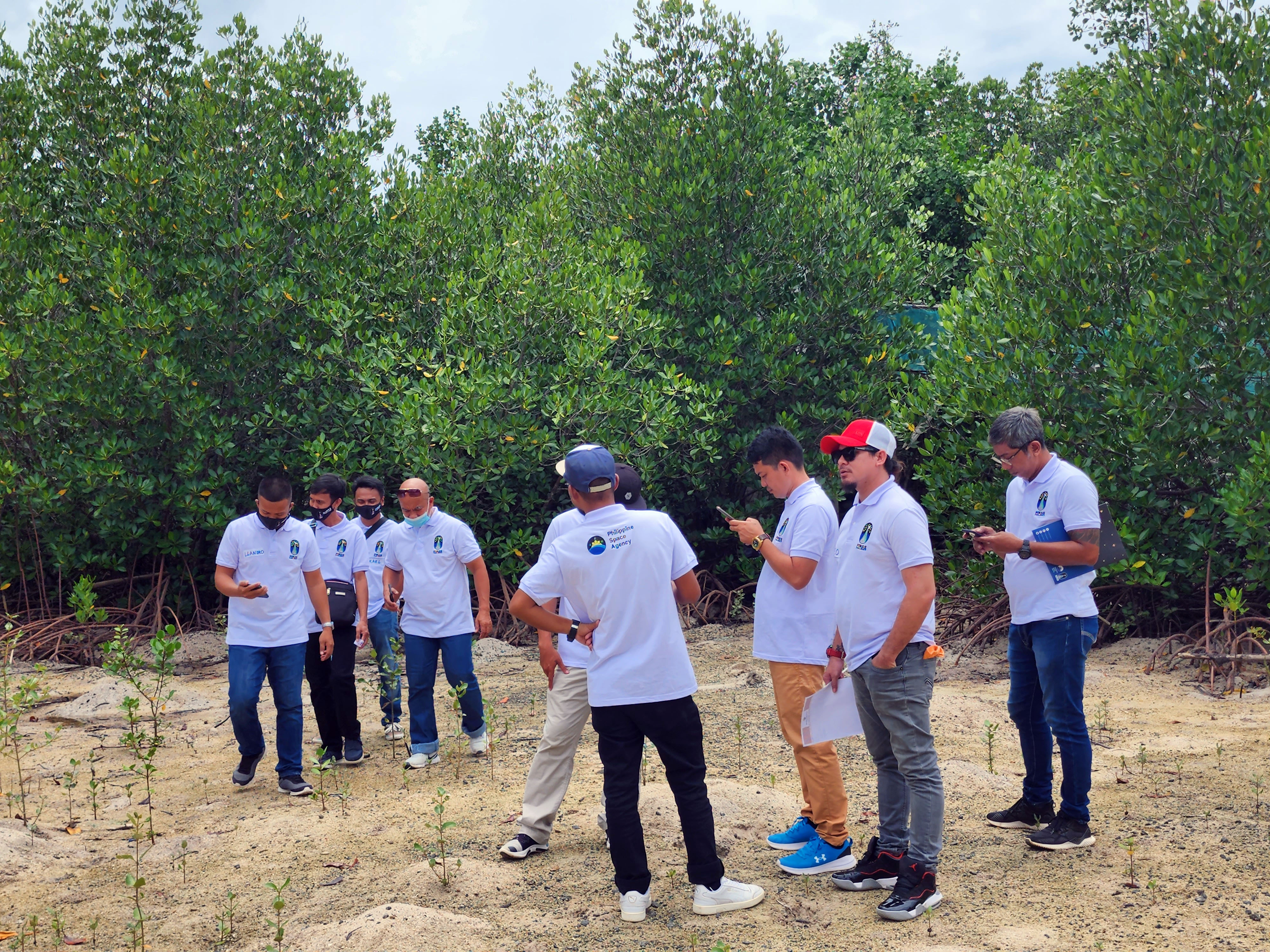
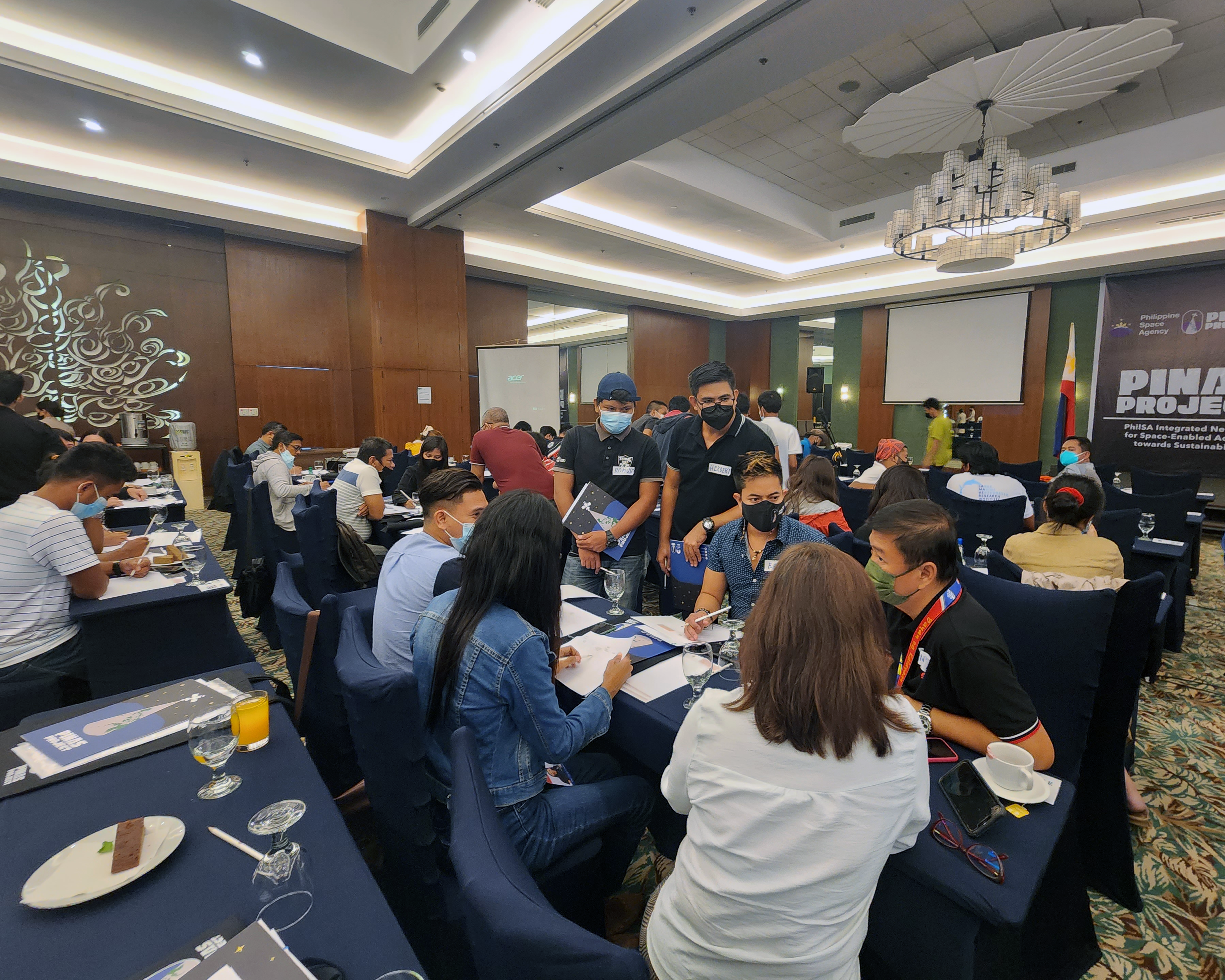
Participants collected data during the ODK hands-on session.
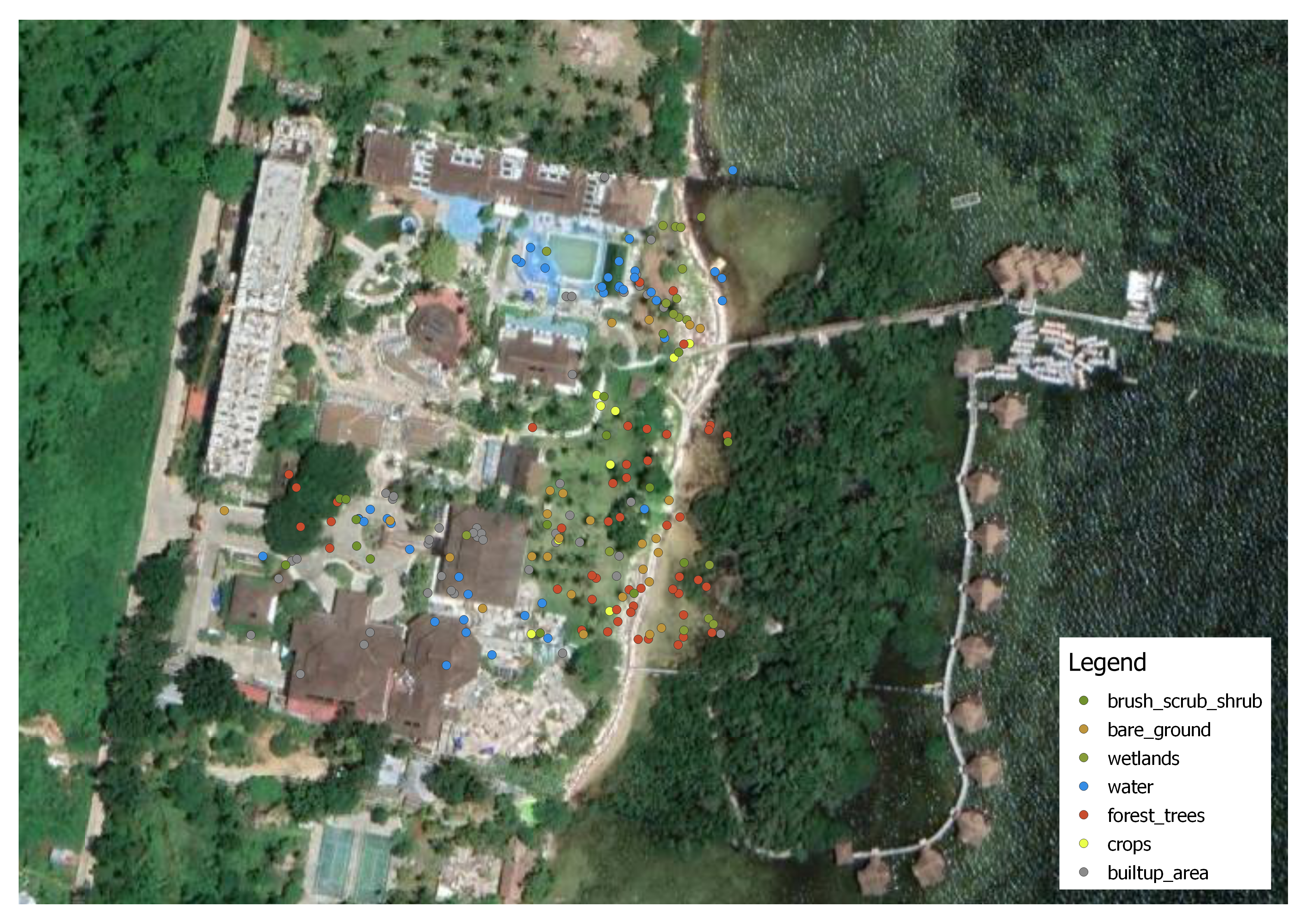
Data collected by the participants using the ODK projected on a map.

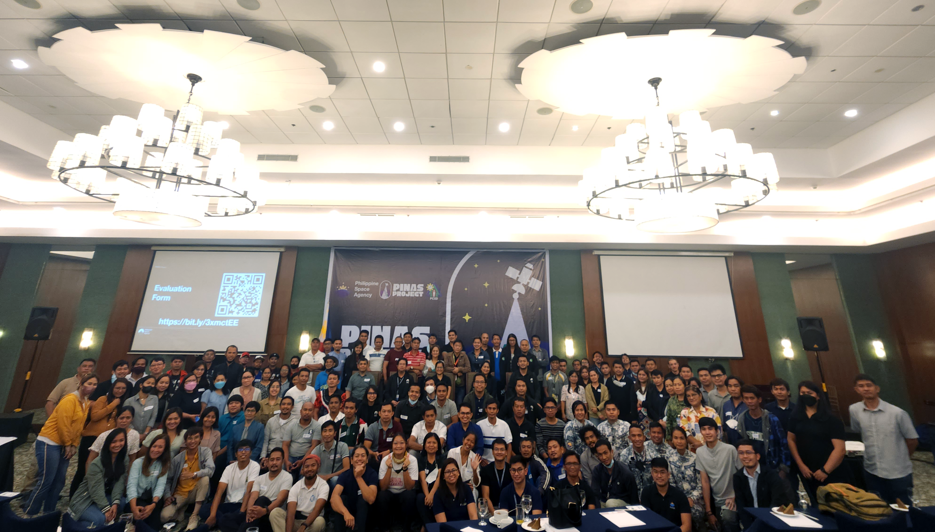
PINAS Workshop Day 2 participants
Read more about the PINAS Project here.