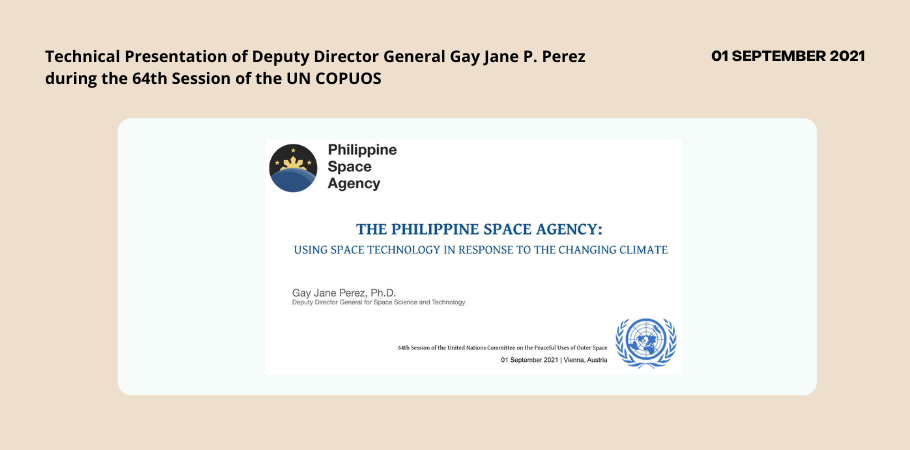
Philippine Space Agency (PhilSA) Deputy Director General Gay Jane P. Perez presented the technical presentation of the Philippines entitled “The Philippine Space Agency: Using Space Technology in Response to the Changing Climate” for Agenda Item No. 11 (Space and Climate Change) on 01 September 2021 during the 64th Session of the United Nations Committee on the Peaceful Uses of Outer Space (UN COPUOS).
Dr. Perez highlighted how the Philippines utilizes space technology in response to climate change. Hazard Management and Climate Studies is one of the key development areas of the agency along with National Security and Development, Space Research and Development, Space Education & Awareness, Space Industry Capacity Building, and International Cooperation.
The Philippines faces multiple threats from natural disasters because of its geographical structure and location. Situated in the Southeast Asia region, intense typhoons, wetter monsoon seasons, and destructive flooding are experienced yearly, leading to socioeconomic implications.
For the agricultural sector comprising 23% of the workforce and 10% of the national gross domestic product (GDP), climate change brings threats of ecological droughts. Because of global warming and acidification, 60% of the country’s population living in low-lying coastal zones are vulnerable to rising sea levels and other problems.
Satellite observation plays a vital role in providing valuable data and actionable information to mitigate the impacts of climate change and for policy makers to come up with sustainable solutions to address large-scale threats. Space data aids in the long-term and continuous environmental observations at the global scale, playing a key role in climatological research. Assimilation of satellite observation can aid in forecasting, leading to the improved performance of weather and climate prediction models. Furthermore, satellite technology provides timely information on environmental changes for mitigation, response, and recovery.
Satellite data is also utilized to determine flood impact, and generate flood extent maps to prioritize areas for response and assistance. Ground sensors were used to validate and monitor water levels in critical areas in real-time. This was done during Typhoon Ompong (Mangkhut) in 2018 when satellite images were used to assess affected areas for faster recovery. Drought events were also monitored using drought indices at regional scales complemented with crop damage reports from local government units (LGU) to assess impacts.
PhilSA is maximizing satellite data to address climate change impacts through multiple initiatives. The National Copernicus Capacity Support Action Programme for the Philippines or CopPhil allows readily available satellite products for use in various environmental applications through Copernicus. Partnerships with the United Nations Economic and Social Commission for Asia and the Pacific (UNESCAP) and the National Institute of Environmental Research through the Pan-Asia Partnership for Geospatial Air Pollution (PAGAPi) enable regional monitoring of air quality.
In satellite development, the country’s newest and biggest satellite, the Multispectral Unit for Land Assessment or MULA, will be used to monitor differnt geological and hydrometeorological hazards such as ashfall extent and drought events. A data-driven approach is also being done through the Space Data Dashboard and a Decadal Survey to understand the country’s most pressing needs..
As climate change is a global effort, the agency maximizes space cooperation. PhilSA will continue to engage with the United Nations Office for Outer Space Affairs (UNOOSA), through the United Nations Platform for Space-based Information for Disaster Management and Emergency Response (UN SPIDER) initiative to help mitigate disaster impacts through satellite data. The recent Memorandum of Understanding (MOU) with UNOOSA strengthened the utilization of space-based information for disaster risk reduction and emergency response. Initiatives are also aligned with the Asia-Pacific Plan of Action on Space Applications for Sustainable Development, specifically on disaster risk reduction and resilience, climate change, and management of natural resources, and social development. To enhance meteorological applications of satellite data in the country, PhilSA will also formally join as a signatory to the Space Climate Observatory. This will further promote the exchange of technical know-how and open-data sharing on climate information.
The 64th Session of the UN COPUOS was held in hybrid format from 25 August to 03 September 2021. Director General Joel Joseph S. Marciano, Jr., Ph.D., led the Philippine Delegation in this forum and was joined by representatives from PhilSA, the Department of Foreign Affairs (DFA), and the Permanent Mission of the Philippines in Vienna.


