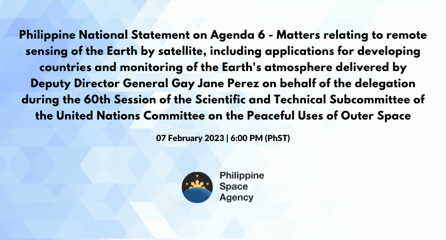
60th SESSION OF THE SCIENTIFIC AND TECHNICAL SUBCOMMITTEE OF THE UNITED NATIONS COMMITTEE ON THE PEACEFUL USES OF OUTER SPACE
PHILIPPINE NATIONAL STATEMENT
AGENDA ITEM NO. 6 “MATTERS RELATING TO REMOTE SENSING OF THE EARTH BY SATELLITE, INCLUDING APPLICATIONS FOR DEVELOPING COUNTRIES AND MONITORING
OF THE EARTH’S ATMOSPHERE”
delivered by
DR. GAY JANE PEREZ
DEPUTY DIRECTOR GENERAL FOR SPACE SCIENCE AND TECHNOLOGY
PHILIPPINE SPACE AGENCY (PhilSA)
Mr. Chair,
The Philippines congratulates you for the remarkable work done in the last session of the Scientific and Technical Subcommittee of the UN COPUOS.
The use of space technologies and remotely sensed data has been vital especially for an archipelagic country as the Philippines. Its value is fully realized when the information derived from the data is acted on.
As such, the Philippine Space Agency, or PhilSA, utilizes several mechanisms to disseminate space and other geospatial data to national government agencies, local government units, academic and R&D institutions, civil society organizations, the private sector, and individuals. These mechanisms constitute a system to ensure that space data and information address the needs and requirements of partners and beneficiaries, and are available, accessible, and distributed in a timely manner.
With the increasing accessibility of space data and technology, we also aim to proliferate knowledge and raise awareness on its use and benefits. It is on this front that we commit to enhancing our space education and capacity building programs. For the next four years, the Philippines will host the International Society for Photogrammetry and Remote Sensing (ISPRS) Technical Commission V on Education and Outreach. Together with the international remote sensing community, we aim to facilitate experts’ technical assistance and training programs in the areas of remote sensing and spatial information science.
Mr. Chair,
International collaboration has been paramount in reinforcing the different components of the space value chain. In this regard, the Philippines contributed to the UNESCAP’s 2022 Compendium on Geospatial Practices for Sustainable Development in Southeast Asia, highlighting our accomplishments and best practices in disaster risk reduction and resilience, management of natural resources, connectivity, social development, energy, climate change, as well as COVID-19 response and recovery.
With this, allow me to take this opportunity to invite everyone to our technical presentations: on Space and Global Health during the AM session on February 10, and on Space-system based disaster management support during the AM session on February 13.
In line with the Jakarta Ministerial Declaration adopted during the Fourth Ministerial Conference on Space Applications for Sustainable Development in 2022, PhilSA reaffirms its support to the regional initiative in utilizing geospatial sciences and technologies for the accelerated implementation of the second phase of Asia Pacific Plan of Action.
True to this commitment, the PhilSA signed the Space for Climate Observatory (SCO) Charter, a network of international space actors coordinating efforts on the use of space data and technologies for climate action. We are also looking forward to contributing to international disaster management initiatives such as Sentinel Asia, where we are able to provide and utilize satellite data for emergency Earth observation requests, which is deemed critical for disaster-stricken countries in the region.
Mr. Chair,
With the support of the Republic of Korea and the UNESCAP on the Pan-Asia Partnership for Geospatial Air Pollution Information Project and the Pandora Asia Network or PAPGAPi-PAN Philippines Project, we are also able to monitor air quality multiple times a day.
The Philippines and the European Union will also soon be launching the National Copernicus Support Action Programme for the Philippines, or CopPhil. Through CopPhil, PhilSA will enable access and distribution of European Space Agency (ESA) Earth observation satellite data and seamlessly integrate it with the local data mobilization efforts of our country, with the goal of making efficient our policy- and decision-making processes.
In closing, Mr Chair,
The Philippines is in solidarity with other space-faring actors and the larger global space community in not only the technical and scientific matters governing remote sensing but also with respect to the building of norms and regimes for policy framework and reforming the governance of the space ecosystem. The Philippines believes in international cooperation as an avenue through which we create and add value across the different components of the space value chain.
Thank you, Mr. Chair.