


The Philippine Space Agency (PhilSA), in collaboration with the Japan Aerospace Exploration Agency (JAXA), conducted the Application of Advanced Land Observing Satellite-2 (ALOS-2) and Google Earth Engine (GEE) on Forest Change Detection training on 26 September 2023.
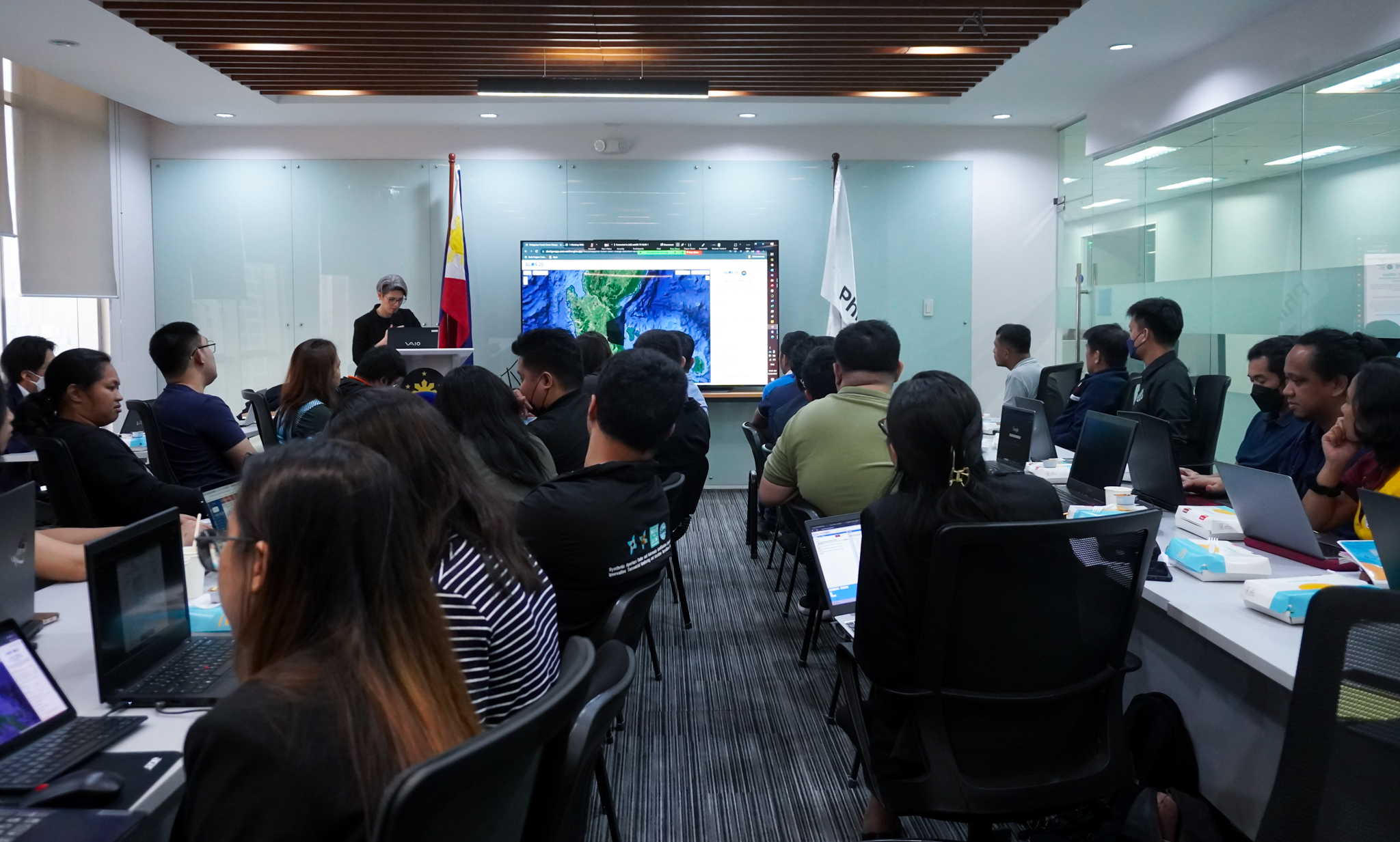
Over 200 online participants and 36 on-site participants attended the hybrid training held via Zoom and at the PhilSA office in Quezon City.
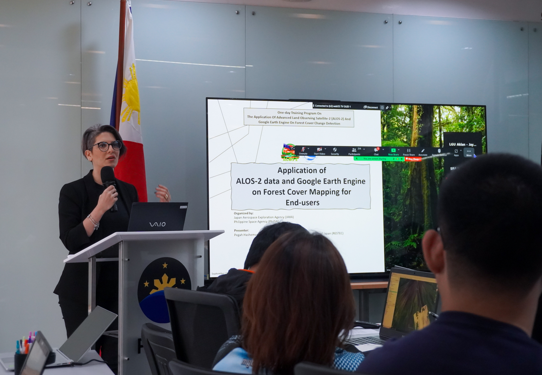
Dr. Pegah Hashemvand of the Remote Sensing Technology Center (RESTEC) of Japan discusses the application of ALOS-2 data and GEE on forest cover mapping for end-users.
Dr. Pegah Hashemvand of the Remote Sensing Technology Center (RESTEC) of Japan started the technical lectures with the fundamental knowledge and skills that will enable participants to utilize ALOS-2 Level 2.2 ScanSAR data for forest cover mapping during the morning session.
Other use cases of GEE using space data to monitor the Philippines’ National Greening Program (NGP) were presented by PhilSA Science Research Specialist, Mr. Reymar Diwa.
During the afternoon session, on-site participants from various government agencies, the academic institutions, and non-government organizations (NGO), had a hands-on experience in using GEE and utilizing the ALOS-2 GEEasy Forest Cover Change Detection Application, a web-based application that has been designed to leverage the capabilities of ALOS-2 Level 2.2 ScanSAR data accessible through the GEE archive.
Integration of the web-based application in various use-cases and future localization in the Philippines were tackled to collect participants’ feedback. This data will be used to further improve the application for wider adoption by end-users in the future.
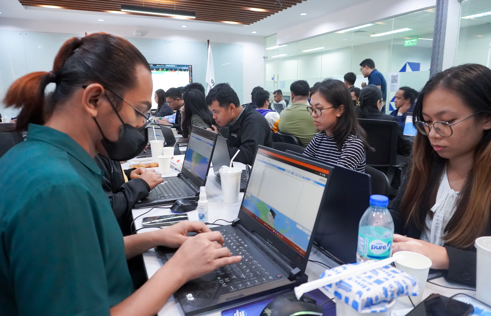
Participants utilize the GEEasy Forest Cover Change Detection Application
This training was conceptualized from the workshop organized by JAXA in March 2023 wherein participants expressed interest in applying ALOS-2 and GEE data in change detection and forest cover mapping. To make ALOS-2 data more accessible to users without prior coding and programming experience, JAXA developed the ALOS-2 GEEasy Application with the assistance of PhilSA.
On-site participants included representatives from the Department of Science and Technology (DOST), Department of Environment and Natural Resources (DENR), National Mapping and Resource Information Authority (NAMRIA), University of the Philippines (UP), Mariano Marcos State University (MMSU), Western Philippines University (WPU), Palawan Council for Sustainable Development Staff (PCSDS), and Conservation International Philippines.
The current algorithm can be improved by gathering validation data from the ground. This type of data can be contributed by mandated government agencies and in-situ information gathered by academic institutions. Additional functionalities can also be added based on feedback from end-users. It is important to proliferate the use of the tool among foresters and conservation practitioners to determine its applicability in their daily activities.
The Advanced Land Observing Satellite-2 (ALOS-2, “DAICHI-2”) is a follow-on mission from the ALOS “Daichi” of JAXA. The state-of-the-art L-band Synthetic Aperture Radar (PALSAR-2) aboard ALOS-2 will have enhanced performance compared to ALOS/PALSAR. The PALSAR-2 is capable of observing day and night, and in all weather conditions. The ALOS-2 was launched by the H-IIA Launch Vehicle on May 24, 2014.