


The Philippine Space Agency (PhilSA) and Department of Environment and Natural Resources (DENR) launch the Nationwide Mangrove Mapping initiative on 28 February 2024 at the Social Hall of the DENR Central Office in Quezon City.
PhilSA, in partnership with the DENR, produced the Nationwide Mangrove Map for 2023 using remotely-sensed images from Sentinel-2 and ALOS PALSAR2. The map will undergo a validation process to enhance the reliability and applicability of data to support coastal management, conservation efforts, and scientific research.
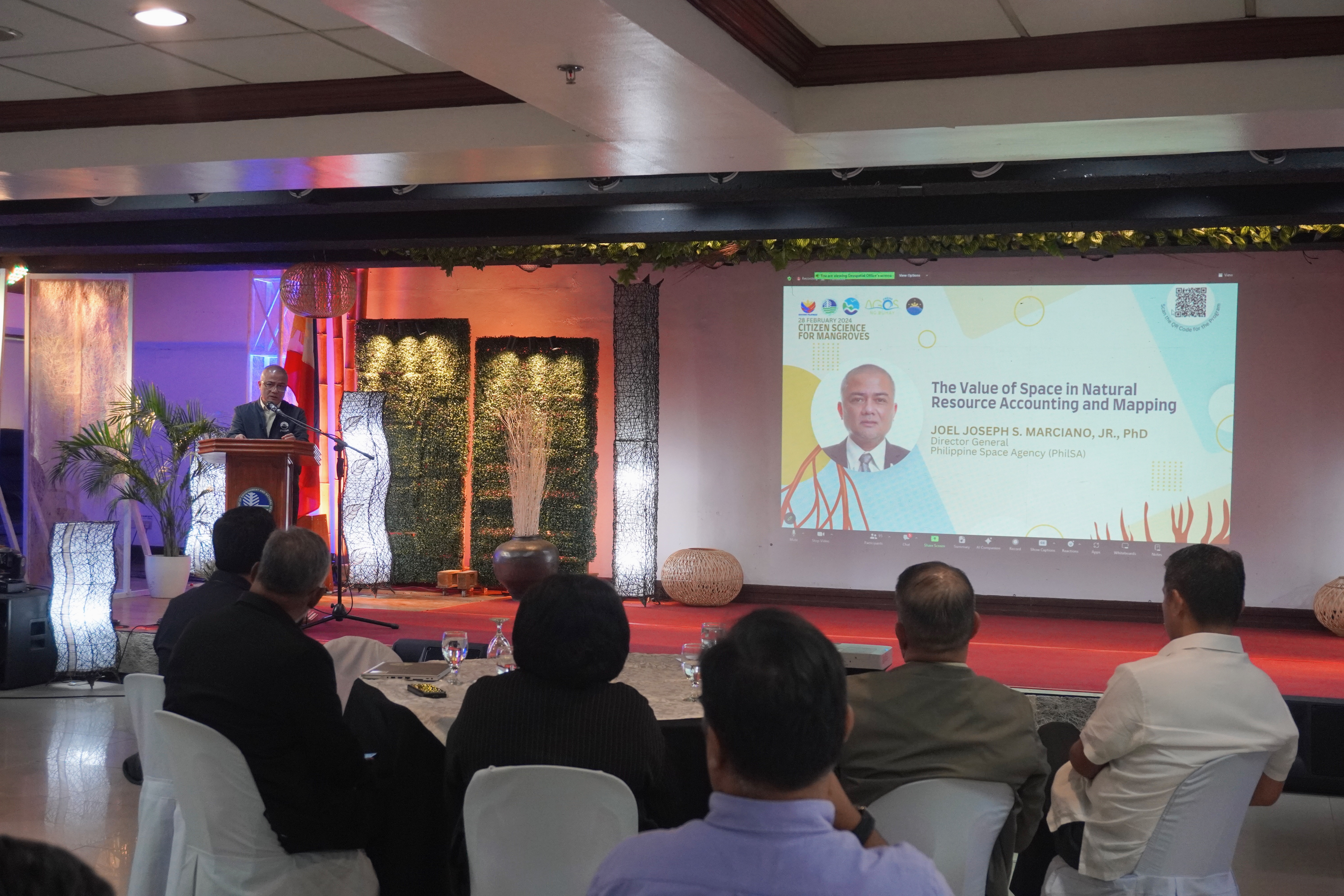
With the development of the satellite-derived mangrove extent map and commencement of the ground validation phase for the nationwide mangrove mapping, PhilSA Director General Joel Joseph Marciano, Jr., highlighted the importance of this initiative in environmental management.
“Using satellite imagery and spaceborne data, we can develop the methodologies and algorithms to make more frequent and timely monitoring possible, and ultimately this should be directed towards supporting more sound decision making and policies. We are given the ability to view remote and inaccessible areas from the vantage point of outer space, and again, we hope that this contributes science-based solutions. We are also happy to be given the opportunity to build the capacities of fellow Filipinos in space science and technology, which we hope will build our local industry and important space downstream sectors,” PhilSA Director General Marciano added.
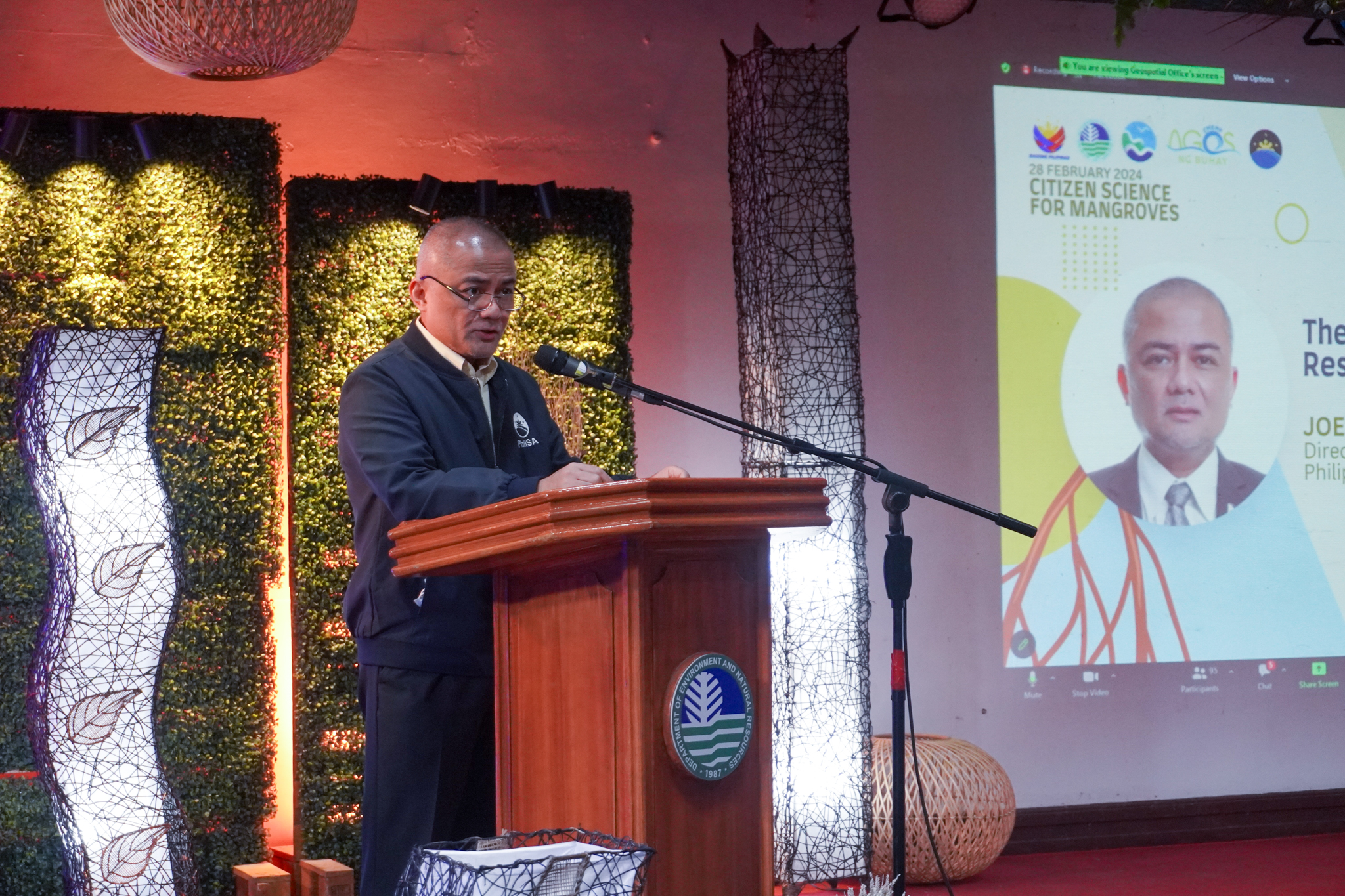
PhilSA Director General Marciano, during his keynote speech, highlights that this partnership with DENR demonstrates how convergence can be achieved through the provision of complementing resources, capabilities, and expertise towards a shared goal.
PhilSA remains committed to supporting the enhancement of DENR’s monitoring systems through satellite remote sensing, machine learning, artificial intelligence, and geographic information systems. The Agency also looks forward to expanding its contributions to include other DENR priority sectors.
DENR Secretary Ma. Antonia Yulo-Loyzaga highlighted the importance of synergies between the agencies, “The use of space-based technologies in national development cannot be underestimated and the Philippine Space Agency under the current leadership of Dr. Marciano has been an invaluable help to the Department of Environment and Natural Resources in quantifying and measuring what we treasure as a nation.”
As this collaborative effort represents a significant stride towards effective mangrove conservation and rehabilitation, DENR Secretary Yulo-Loyzaga further added, “With the help of our partner agencies and academic community, and non-government organizations— we reiterate the DENR’s firm commitment to establish natural capital accounts which equals integrating key ecosystems like mangrove forests into building a sustainable and thriving blue economy for the country. Launching of the mangrove map is a major milestone for us to accomplish this goal.”
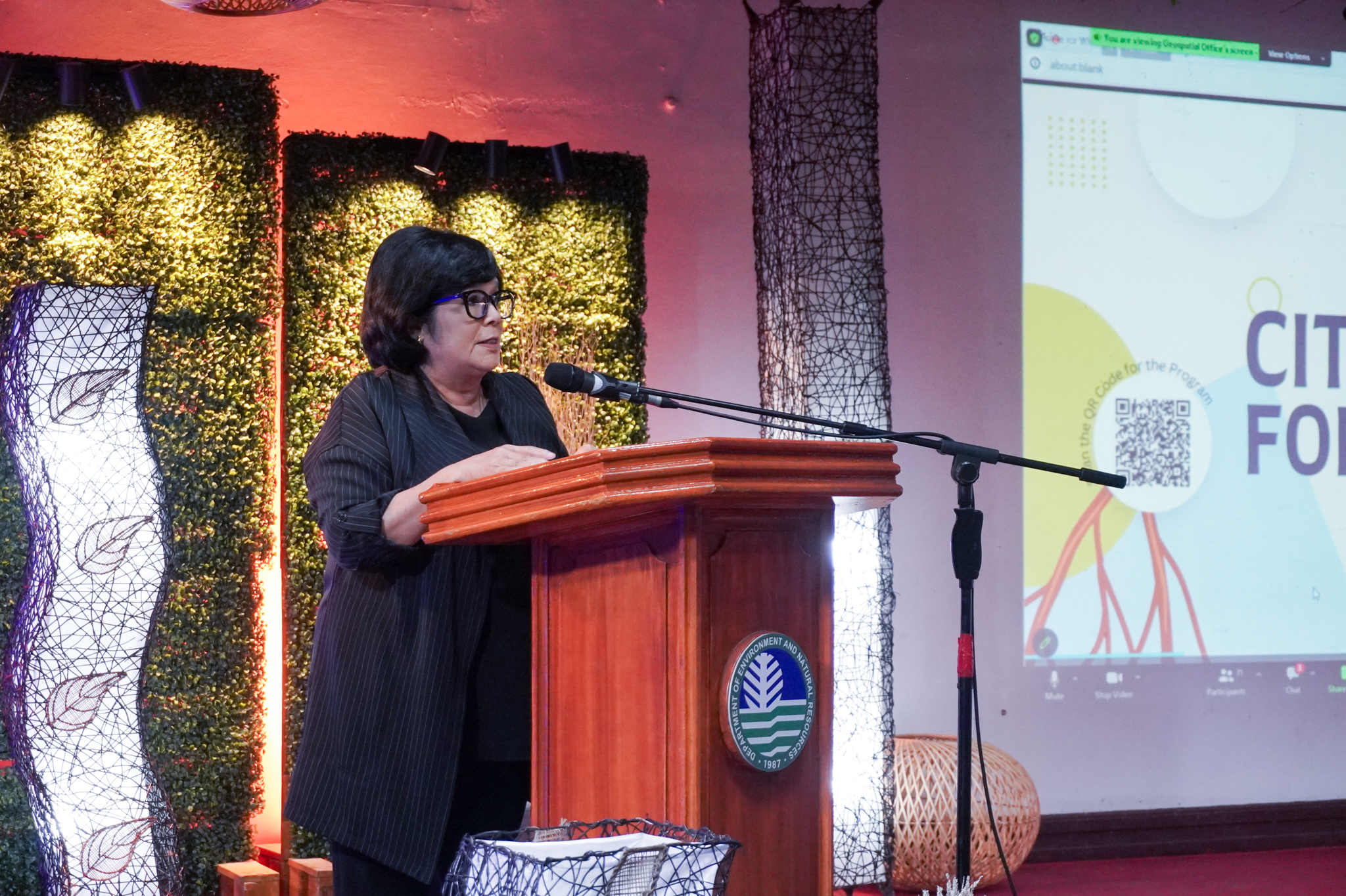
DENR Secretary Yulo-Loyzaga, in her keynote speech, emphasizes how the fusion of advanced space technology, machine learning, and citizen’s science underscores the commitment of preserving vital ecosystems for the benefit of current and future generations.
A hands-on session for data validation was also conducted and facilitated by Engr. Kristine Bantay, Senior Science Research Specialist from the PhilSA Space Data Mobilization and Applications Division. She also presented how the mangrove map may be validated through the utilization of ODK, a free application for data collection.
Through ODK, local DENR offices, NGOs, and academe partners will be mobilized to acquire and contribute data such as image and location of various mangrove areas in the country for ground validation. These efforts will also be complemented by aerial images using drone technology, which are expected to further enhance the nationwide mangrove extent map.
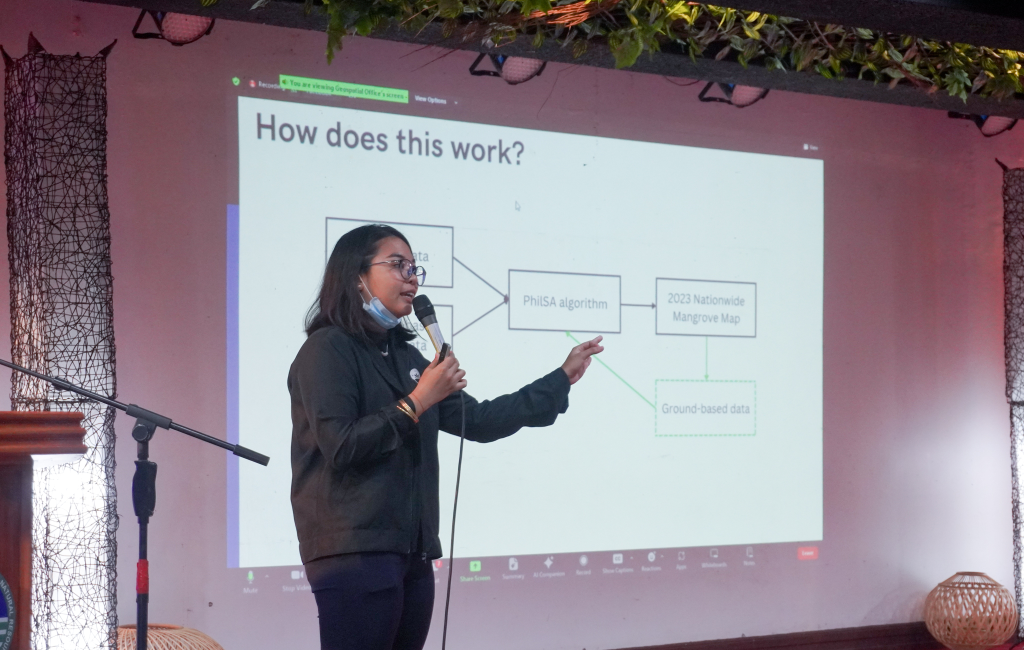
Engr. Kristine Bantay, PhilSA Senior Science Research Specialist, delivers her presentation on “Validating the 2023 Mangrove Map.”
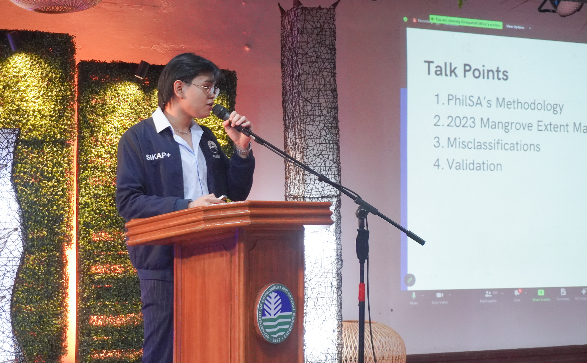
Engr. Cristan Dave Zablan, PhilSA Science Research Specialist, delivers his presentation on “AI-powered Philippine Mangrove Map of 2023.”
Upon completion of the validation activity, the data will be used to enhance PhilSA’s mangrove mapping algorithm using machine learning (ML). The validated map can be used for conservation and resource management efforts.
-2")

-2")


Present during the event were the Global Mangrove Alliance, De La Salle University, University of Sto. Tomas, National Mapping and Resource Information Authority, DENR-Biodiversity Management Bureau, and representatives from non-governmental organizations (NGOs) involved in environmental conservation and advocacy.
This endeavor resulted from the PhilSA and DENR MOA signed in February 2023. A key component of this is the establishment of a geospatial database of the country’s natural resources to be developed for the National Resource Accounting Program starting with the Nationwide Mangrove Map.