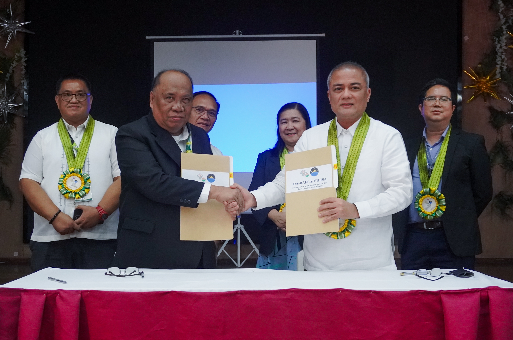
The Philippine Space Agency (PhilSA) and the Department of Agriculture-Bureau of Agricultural and Fisheries Engineering (DA-BAFE) entered into an agreement on 21 February 2024 at the Sugar Center Compound in Quezon City to utilize satellite data and space technology applications for the monitoring of agricultural commodities and farm-to-market roads (FMRs) in Nueva Ecija.
The Agencies will collaborate on the Farm-to-Market Road and Agricultural Commodity Geodatabase and Remote Sensing Application Phase 1 (or DigitalAgri Phase 1) project, which aims to provide near real-time information to the agriculture sector, policy and decision-makers, and stakeholders.

Looking forward to the joint research on the FMR mapping, analysis road condition assessment, accessibility mapping, and agricultural commodity monitoring— PhilSA Director General Marciano said that PhilSA strives to bring the Agency’s #YamangKalawakan in support of fulfilling the DA’s vision of “Masaganang Agrikultura at Maunlad na Ekonomiya”.
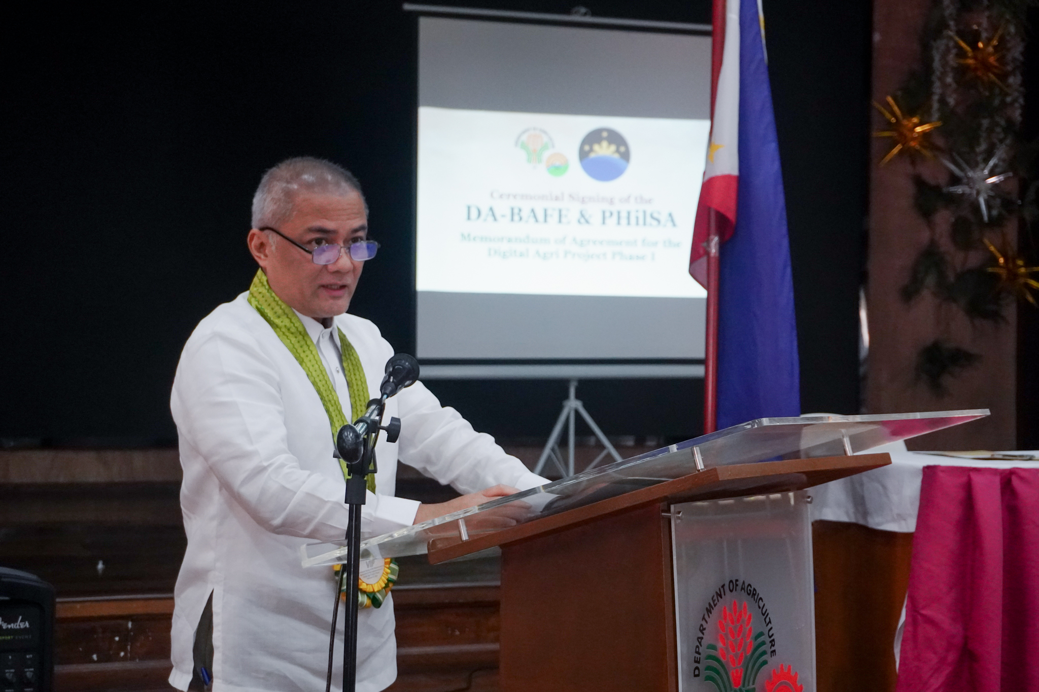
PhilSA Director General Joel Joseph Marciano, Jr., Ph.D., during his message, underscored the additional value of space-derived data for planning and monitoring of agriculture and its related infrastructure which will enhance the country’s food security and economic growth.
Agriculture Secretary Francisco Tiu Laurel, Jr. in his keynote message delivered by Atty. Mary Anne Pasion of DA, highlighted the role of digital revolution the country’s agri-fishery sector— offering new opportunities to enhance productivity, efficiency, and inclusivity. By harnessing the powers of digital technologies, farmers can access crucial information on road access status, among others, which will then empower them to make informed decisions and maximize their productivity.

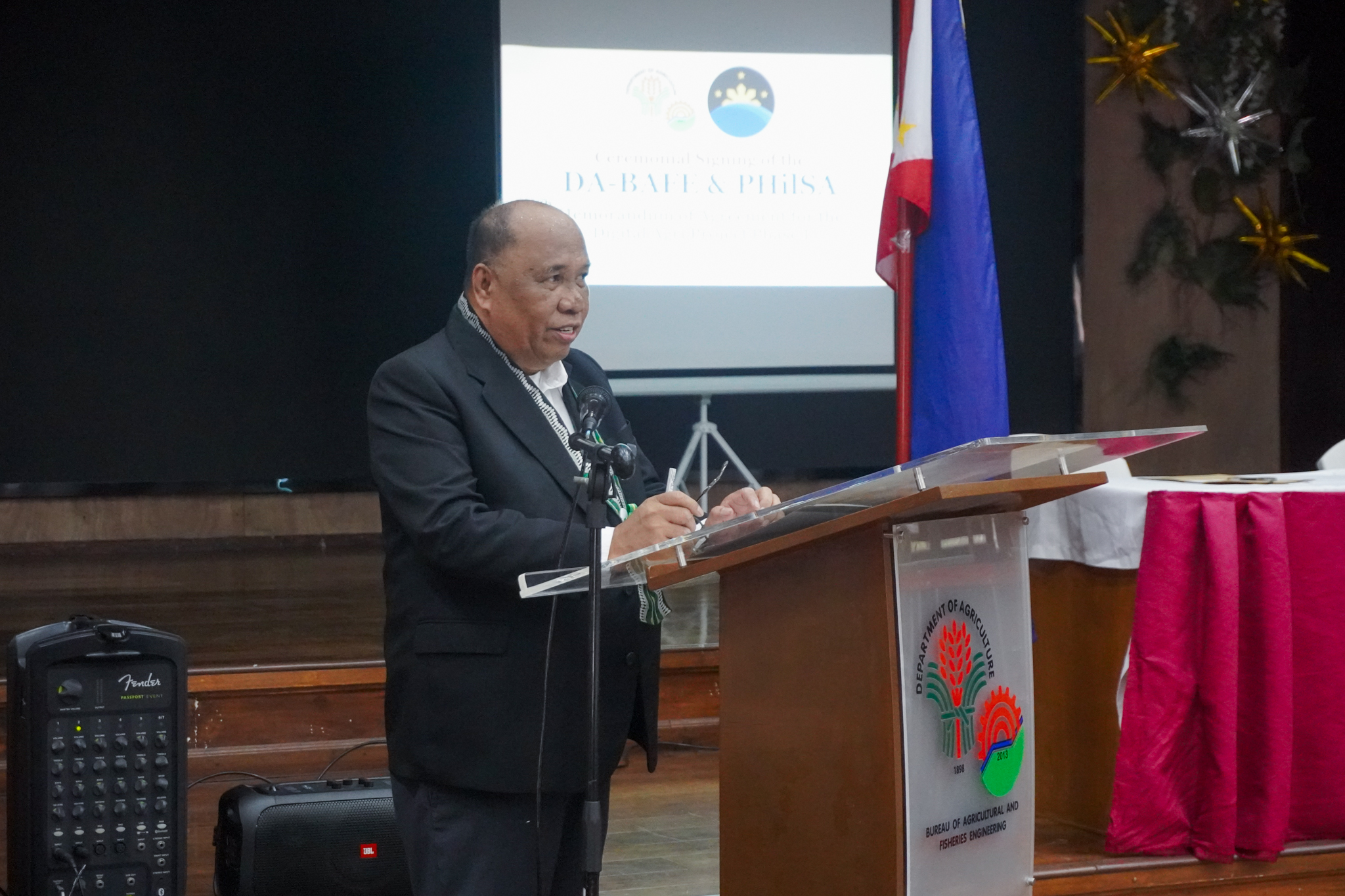
DA-BAFE Director Rico during his opening remarks.
DA-BAFE Director Ariodear Rico, during his opening remarks, expressed how satellite imaging is necessary for road construction monitoring and assessment. This will also help the said bureau identify and locate where the roads are needed, especially in the part of the local government units.
This agreement also aligns with President Ferdinand Marcos Jr.’s directive to establish the local FMR network plan, including its digitalization efforts.
DigitalAgri Phase 1, will facilitate joint research, development, and operationalization activities between the two government agencies through the provision of data from Earth observation (EO) satellites and utilization of space applications and technologies for data collection, analysis, and dissemination for improved decision making and sustainable development.
This project will cover monitoring of FMRs via remote sensing, including road type, accessibility mapping, and infrastructure planning. The near real-time images and information on FMRs are crucial for oversight agencies, particularly during emergencies like disasters and calamities, to enhance data collection. This will serve as a decision support tool for DA to assist in planning, policy formulation, project implementation, and assessment.
Both Agencies will also conduct joint research, development, and operationalization activities related to the planning and monitoring of agricultural commodities, specifically corn and onion. These will cover crop stage and health, yield estimation and prediction, pest and disease detection, and land use mapping.
PhilSA will conduct a feasibility analysis on the appropriate open-source and commercial satellite images, conduct field surveys and validation activities in pilot areas in Nueva Ecija, and develop methodologies for near real-time image and monitoring. These methodologies will also be integrated into DA-BAFE’s existing monitoring and evaluation tools for the implementation of FMRs, namely: the Agricultural and Biosystems Engineering Management Information System (ABEMIS) and the Geographic Information System for Agricultural and Fisheries Machinery and Infrastructure (GeoAgri).
The ceremonial signing was joined by DA Undersecretary for Operations Navarro, Director for ICT Service Honorio Flameño, PhilSA Space Information Infrastructure Bureau (SIIB) Director Ariel Blanco, Dr.Eng., and Finance and Administrative Service (FAS) Director Sonia Cabangon.


