


Philippine Space Agency (PhilSA) Director General Joel Joseph Marciano Jr. delivered the Philippine National Statement on Agenda Item No. 4 on the “Review of Work of the Secretariat and the United Nations System at the Regional Level” on 26 August 2021 during the 7th Session of the Committee on Disaster Risk Reduction (CDRR-7) of the United Nations Economic and Social Commission for Asia and the Pacific (UNESCAP).
CDRR-7 is being held concurrently and jointly with the 25th Session of the Intergovernmental Consultative Committee (ICC-25) on the Regional Space Applications Programme for Sustainable Development (RESAP) of UNESCAP held from 24-27 August 2021.
The Philippines emphasizes the enabling role of space in providing creative solutions to the challenges brought about by climate change and the COVID-19 pandemic. This includes the development of the next generation Philippine satellites such as the Multi-spectral Unit for Land Assessment (MULA) which will focus on environmental and disaster applications and will be capable of capturing real-time images essential for timely disaster response and decision-making. Moreover, PhilSA is utilizing a data driven approach by undertaking a decadal survey on space science and technology and space data mobilization programs such as the Space Data Dashboard, and GeoRiskPH.
The Philippine delegation is led by Dr. Marciano with Deputy Director General Gay Jane Perez, representatives from PhilSA, the Philippine Atmospheric, Geophysical and Astronomical Services Administration (PAGASA), the Philippine Embassy in Bangkok, and the Office of Civil Defense (OCD).
The CDDR is the intergovernmental legislative forum of the UNESCAP on disaster reduction which focuses on: policy options and strategies on multi-hazard disaster risk reduction and mitigation, regional cooperation mechanisms for disaster risk management, and multi-hazard assessment, preparedness, early warning and response to disaster risks.
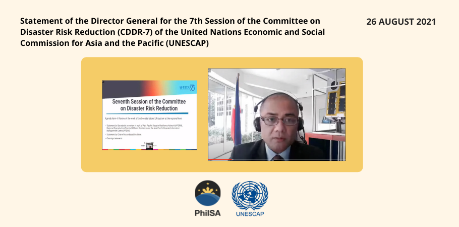
7TH SESSION OF THE COMMITTEE ON DISASTER RISK REDUCTION (CDRR-7)
PHILIPPINE NATIONAL STATEMENT
AGENDA ITEM NO. 4 – REVIEW OF WORK OF THE SECRETARIAT AND THE UNITED NATIONS SYSTEM AT REGIONAL LEVEL | 26 AUGUST 2021
delivered by
JOEL JOSEPH S. MARCIANO JR.
DIRECTOR GENERAL OF THE PHILIPPINE SPACE AGENCY (PhilSA)
Thank you, Mr. Chair.
The Philippine Space Act marks the Philippines’ formal recognition of the increasing strategic importance of space, especially for hazard management and climate studies. The Philippines recognizes the challenges brought about by climate change and COVID-19, and we look to the enabling role of space in strengthening our capability and providing creative solutions and assistance to critical sectors during these times.
In this regard, the Philippine Space Agency or PhilSA is conducting its decadal survey on the use of space applications derived from Earth observation and telecommunication satellites. Through gap analysis of our current capabilities, we will be able to identify priority missions to ensure inclusive and sustainable conduct of activities and utilization of space technology in the country, especially for Disaster Risk Reduction and Management (DRRM).
Furthermore, the development of the next generation of Philippine satellites such as the Multi-spectral Unit for Land Assessment or MULA, is already underway. MULA will focus on environmental and disaster applications and will be capable of capturing near real-time images essential for timely disaster response and decision-making.
Finally, the Philippines also prioritizes digitalization programs focusing on improving data governance and utilization, and strengthening mechanisms that promote interoperability of various DRR platforms and the underlying ICT infrastructure. In this regard, PhilSA continues to support initiatives in the country aimed at lowering barriers to accessing satellites for more pervasive Internet connectivity that is vital to productivity and our country’s efforts in enhancing DRRM. We also cite programs such as the Philippines’ Space Data Dashboard and the GeoRiskPH platform that utilize remote sensing techniques, machine learning, and artificial intelligence to provide data-driven recommendations for DRRM and assist in the creation of a streamlined decision-making process.
We have shared more information on our activities with the Secretariat, which are available online and electronically.
Thank you very much.
— END —